


This handsome decorative map by Willem Blaeu depicts the region on the south shore of the Baltic Sea called Pomerania, which is Poland's entire Baltic coast and Germany's eastern shores of the sea.
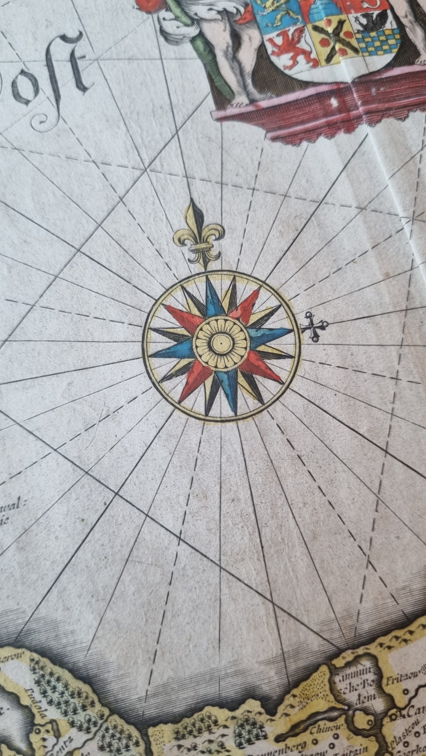
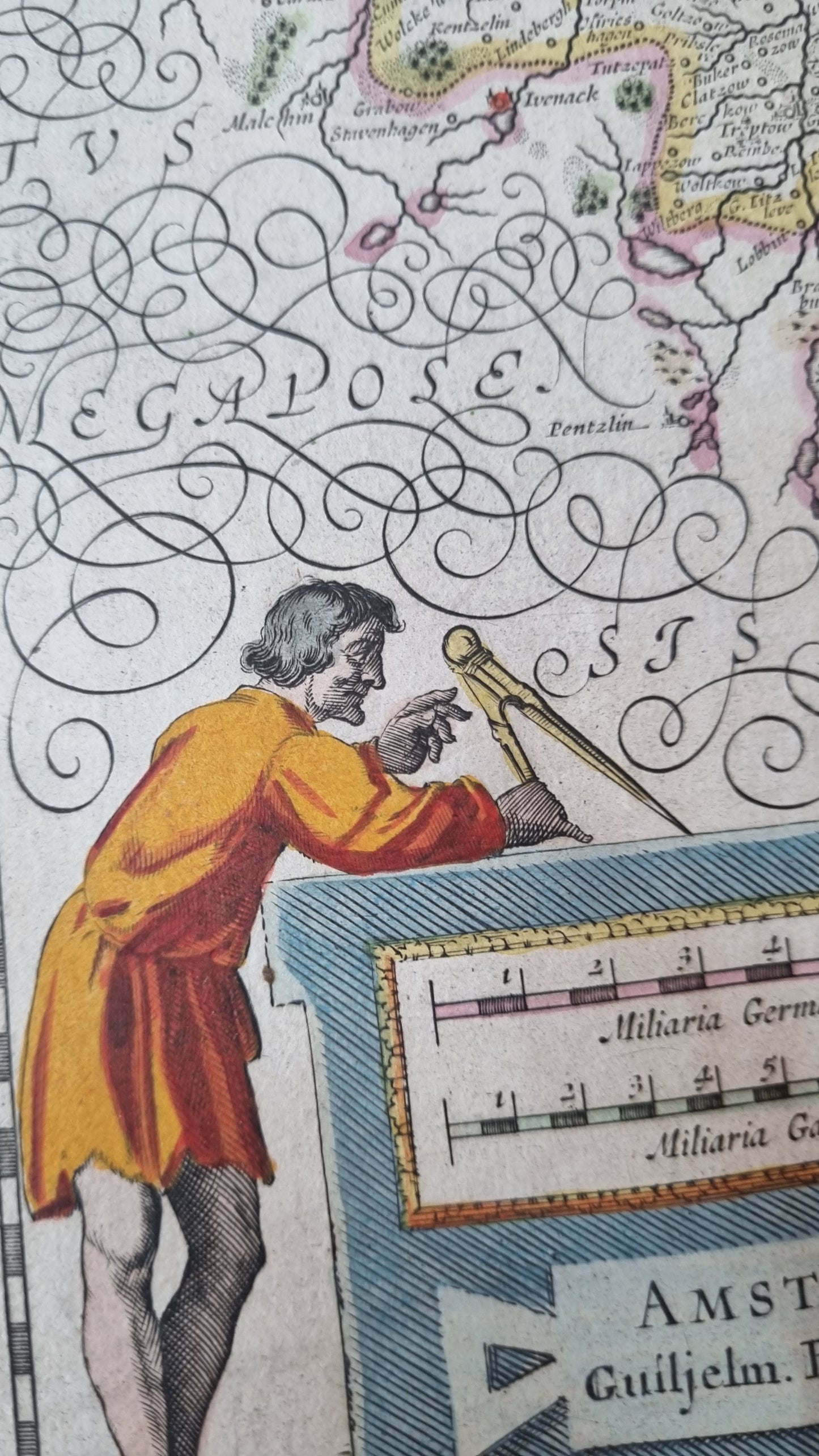
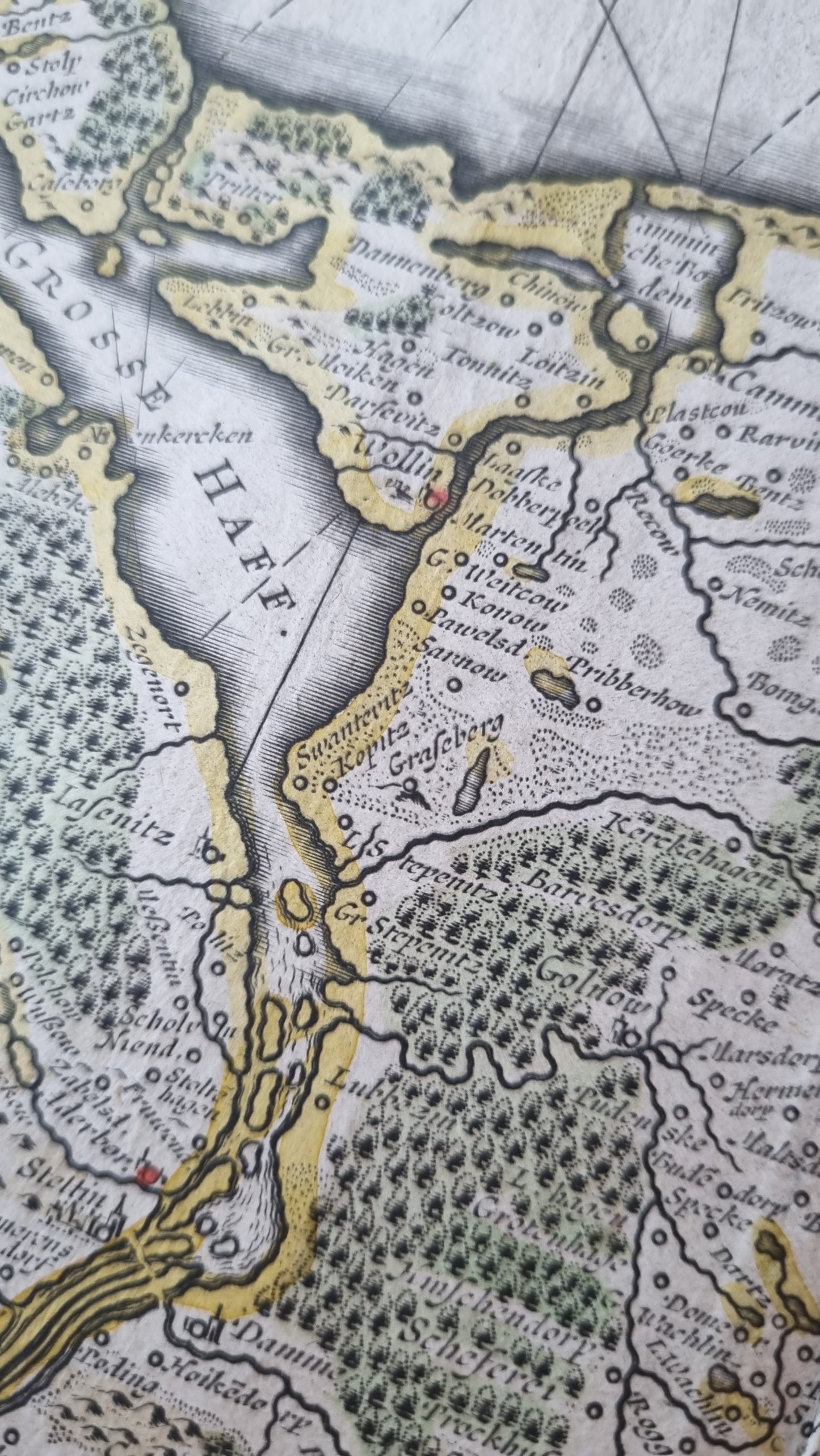
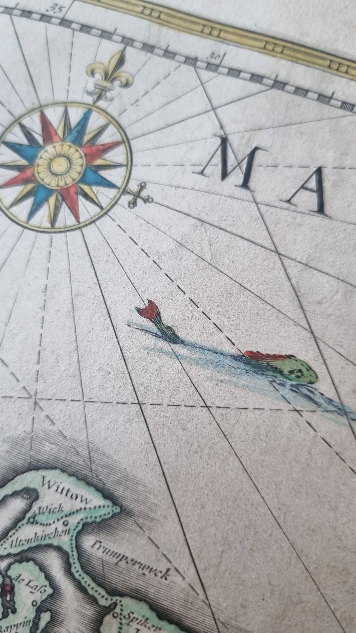
The map also serves as a sea chart of the Baltic, with rhumb lines radiating from two compass roses and another point at the northern edge of the area depicted. The map is highly detailed with cities, towns and villages named, and all topographic features pictorially illustrated.The area has been inhabited for millennia, with evidence indicating settlement as early as 13,000 years ago. Throughout its long history Pomerania has been settled by Scandinavians from across the Baltic, Germanic and Baltic tribes, and western Slavs.
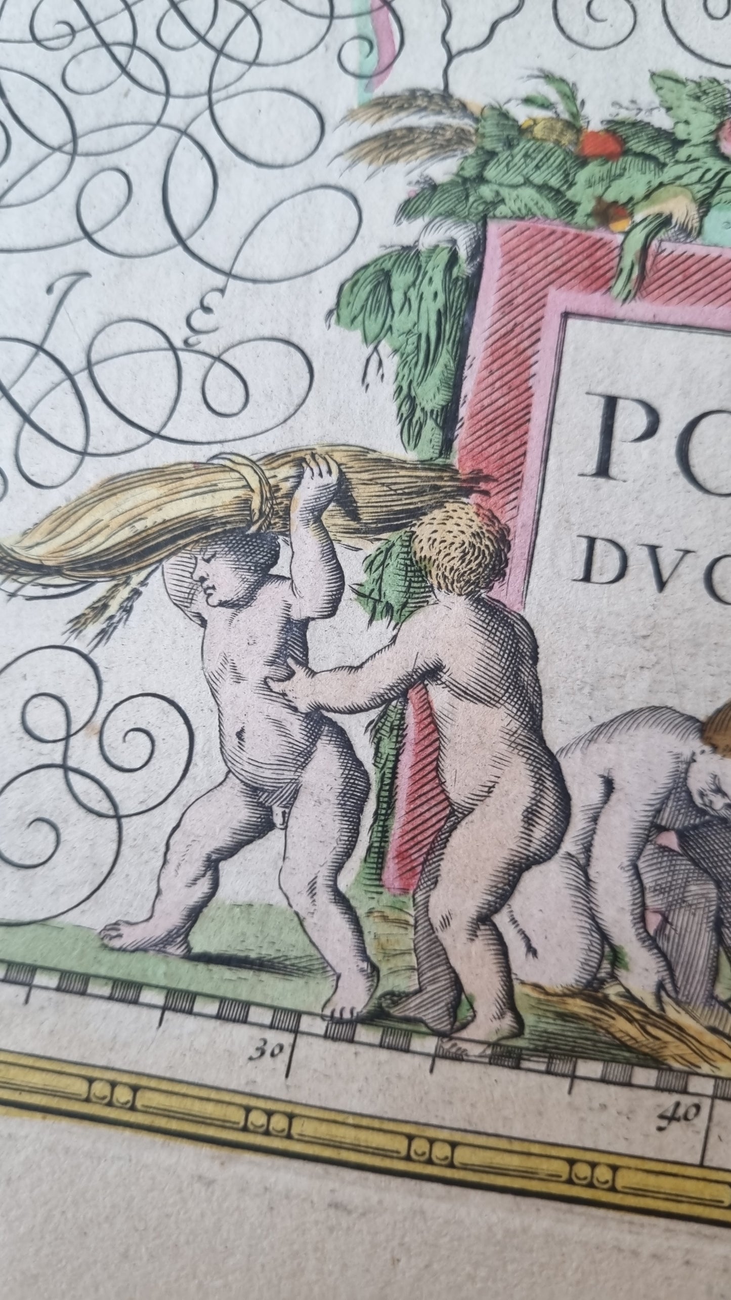
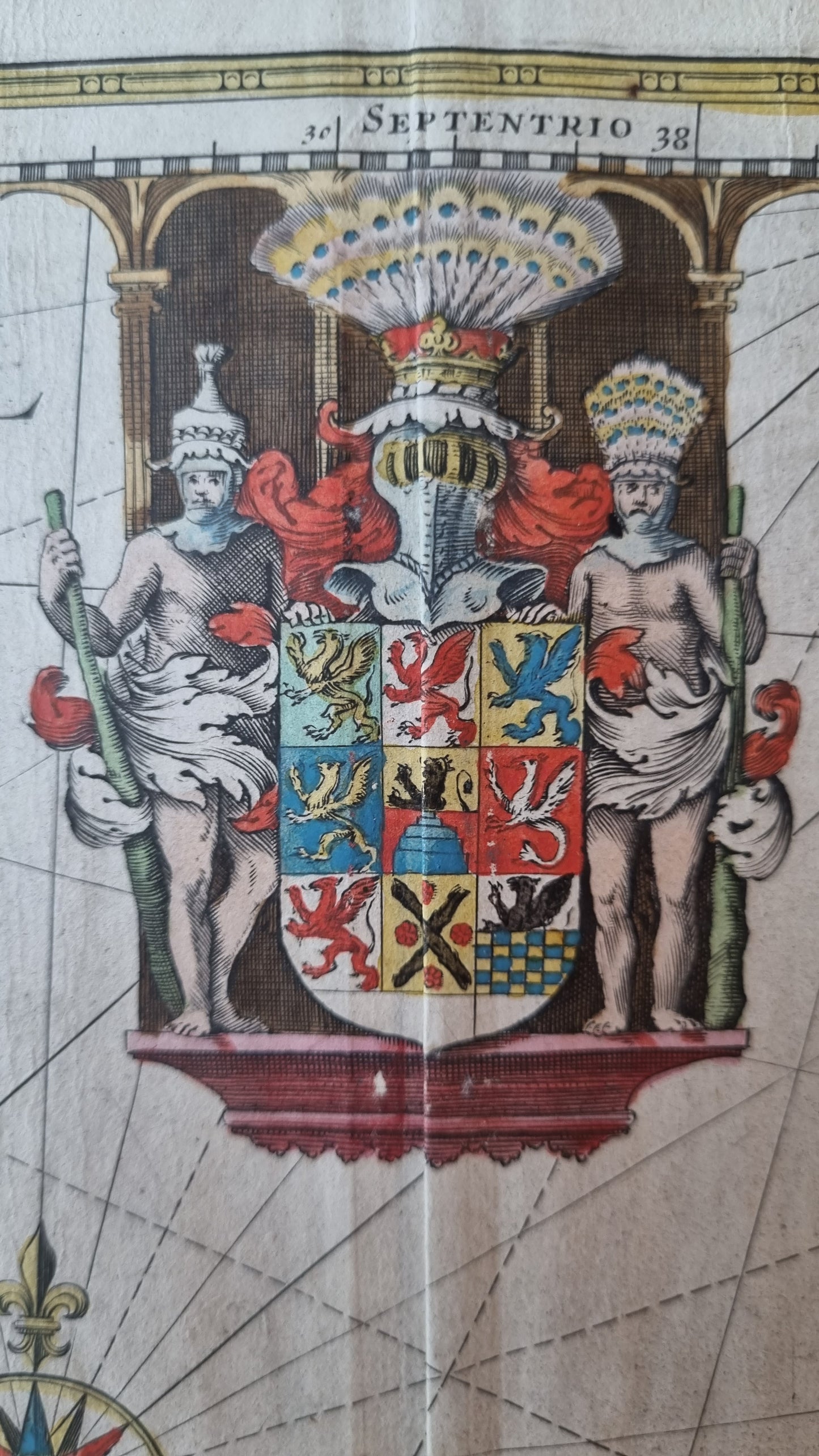
The map is embellished with an elaborate heraldic device, two lovely compass roses, ships at full sail on the sea, a decorative title cartouche and distance legend.
Details
- Date: 1635
- Author: Blaeu, Willem; Amsterdam, Holland
- Size: 50cm x 38cm
Condition
Excellent; A centrefold separation that is only noticeable once finding the repair on the verso. Overall map appearance is of superior quality with wide margins on all sides. Unframed
1635 Pomerania (Poland) and the Baltic Sea
1635 Pomerania (Poland) and the Baltic Sea
Couldn't load pickup availability
1 in stock
This handsome decorative map by Willem Blaeu depicts the region on the south shore of the Baltic Sea called Pomerania, which is Poland's entire Baltic coast and Germany's eastern shores of the sea.
The map also serves as a sea chart of the Baltic, with rhumb lines radiating from two compass roses and another point at the northern edge of the area depicted. The map is highly detailed with cities, towns and villages named, and all topographic features pictorially illustrated.The area has been inhabited for millennia, with evidence indicating settlement as early as 13,000 years ago. Throughout its long history Pomerania has been settled by Scandinavians from across the Baltic, Germanic and Baltic tribes, and western Slavs.
The map is embellished with an elaborate heraldic device, two lovely compass roses, ships at full sail on the sea, a decorative title cartouche and distance legend.
Details
- Date: 1635
- Author: Blaeu, Willem; Amsterdam, Holland
- Size: 50cm x 38cm
Condition
Excellent; A centrefold separation that is only noticeable once finding the repair on the verso. Overall map appearance is of superior quality with wide margins on all sides. Unframed