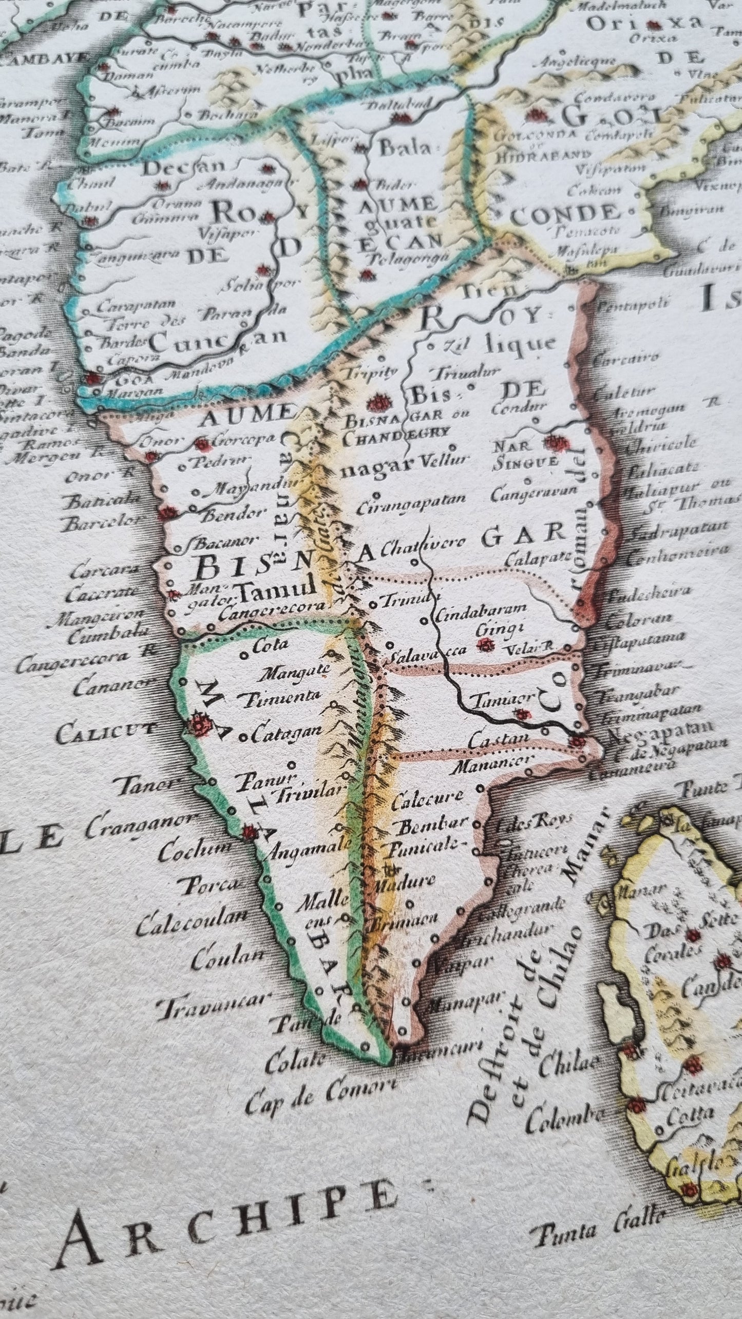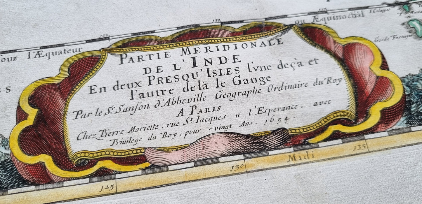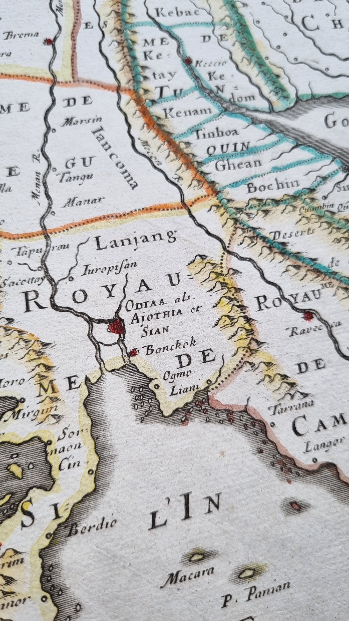


Sanson's 1654 map of the Indian subcontinent and Southeast Asia.
Maps of this region were of great importance during the Age of Exploration and of particular interest to the Dutch and English East India Companies. Sanson's map presents the region in classic 17th-century detail with many supposed mountain ranges and rivers that run through lands largely unexplored by Europeans. Towns and ports are noted throughout with those of import or a large population marked in red. Archipelagos and larger islands are scattered about with admirable accuracy for the age. The "Isles de Andemaon" (Andaman and Nicobar Islands) are accurately located but inaccurately depicted as several pair of islands when they are really more of one long landmass broken up by a few rivers. A fine map of a region virtually unknown by Europeans, save for the Portuguese just 50 years earlier.
Details
- Date: 1654
- Author: Sanson, Nicolas; Paris, France
- Size: 52cm x 38cm
Condition
Excellent; No tears or staining and full margins on all sides. In original outline colours, with recent colour addition to the cartouche.
Unframed.
1654 India and Southeast Asia
1654 India and Southeast Asia
Couldn't load pickup availability
1 in stock
Sanson's 1654 map of the Indian subcontinent and Southeast Asia.
Maps of this region were of great importance during the Age of Exploration and of particular interest to the Dutch and English East India Companies. Sanson's map presents the region in classic 17th-century detail with many supposed mountain ranges and rivers that run through lands largely unexplored by Europeans. Towns and ports are noted throughout with those of import or a large population marked in red. Archipelagos and larger islands are scattered about with admirable accuracy for the age. The "Isles de Andemaon" (Andaman and Nicobar Islands) are accurately located but inaccurately depicted as several pair of islands when they are really more of one long landmass broken up by a few rivers. A fine map of a region virtually unknown by Europeans, save for the Portuguese just 50 years earlier.
Details
- Date: 1654
- Author: Sanson, Nicolas; Paris, France
- Size: 52cm x 38cm
Condition
Excellent; No tears or staining and full margins on all sides. In original outline colours, with recent colour addition to the cartouche.
Unframed.