1
/
of
3
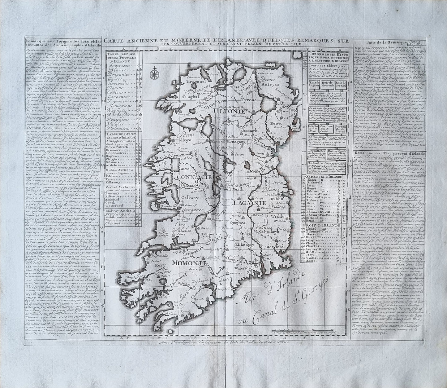
1720 map of Ireland, included in Henri Abraham Chatelain's "Atlas Historique,". Meticulously detailed, outlining the four provinces of Ulster, Munster, Leinster, and Connacht, and topography including coastlines, inland waterways, and county divisions.
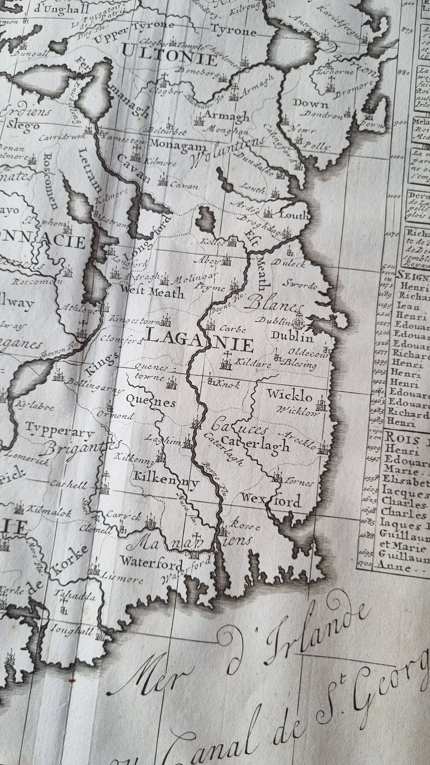
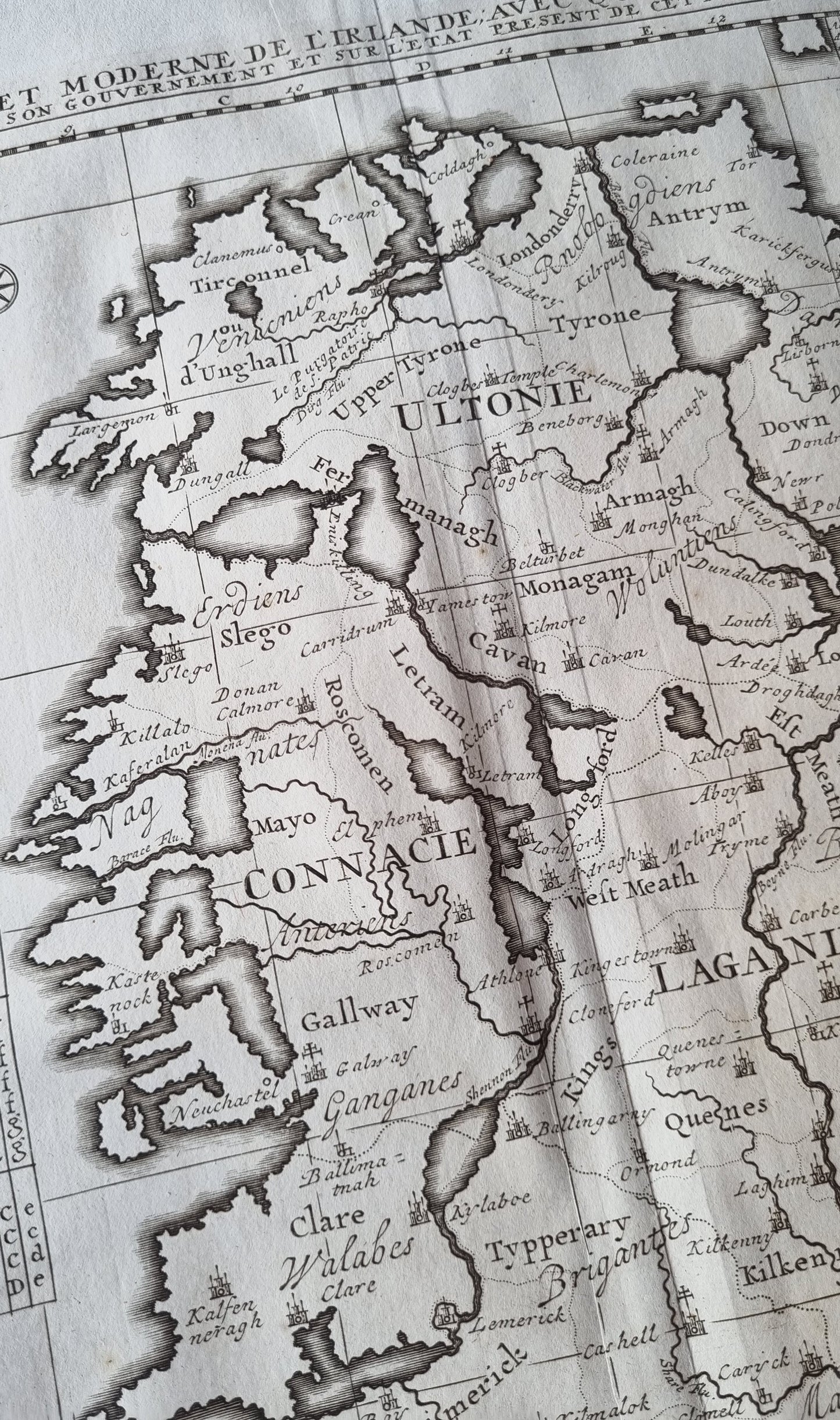
Notable features include the depiction of major cities such as Dublin, Cork, and Limerick, as well as smaller towns and other significant landmarks which are carefully labelled. It represents Ireland during a period of significant political and social change, post the Williamite War and prior to the Irish rebellion of 1798. This period is crucial in Irish history for the consolidation of English power and the restructuring of Irish society under the Penal Laws.
Details
- Date: 1720
- Author: Chatelain, Henri; Amsterdam, Holland
- Size: 50cm x 43cm
Condition
Very Good. Dark, clear print, wide margins. Centre-fold as issued.
Unframed
1720 Ireland by Chatelain
1720 Ireland by Chatelain
Regular price
$199.00 AUD
Regular price
Sale price
$199.00 AUD
Unit price
/
per
Shipping calculated at checkout.
Couldn't load pickup availability
Out of stock
Share
1720 map of Ireland, included in Henri Abraham Chatelain's "Atlas Historique,". Meticulously detailed, outlining the four provinces of Ulster, Munster, Leinster, and Connacht, and topography including coastlines, inland waterways, and county divisions.
Notable features include the depiction of major cities such as Dublin, Cork, and Limerick, as well as smaller towns and other significant landmarks which are carefully labelled. It represents Ireland during a period of significant political and social change, post the Williamite War and prior to the Irish rebellion of 1798. This period is crucial in Irish history for the consolidation of English power and the restructuring of Irish society under the Penal Laws.
Details
- Date: 1720
- Author: Chatelain, Henri; Amsterdam, Holland
- Size: 50cm x 43cm
Condition
Very Good. Dark, clear print, wide margins. Centre-fold as issued.
Unframed


