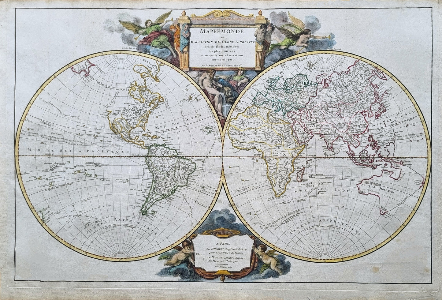
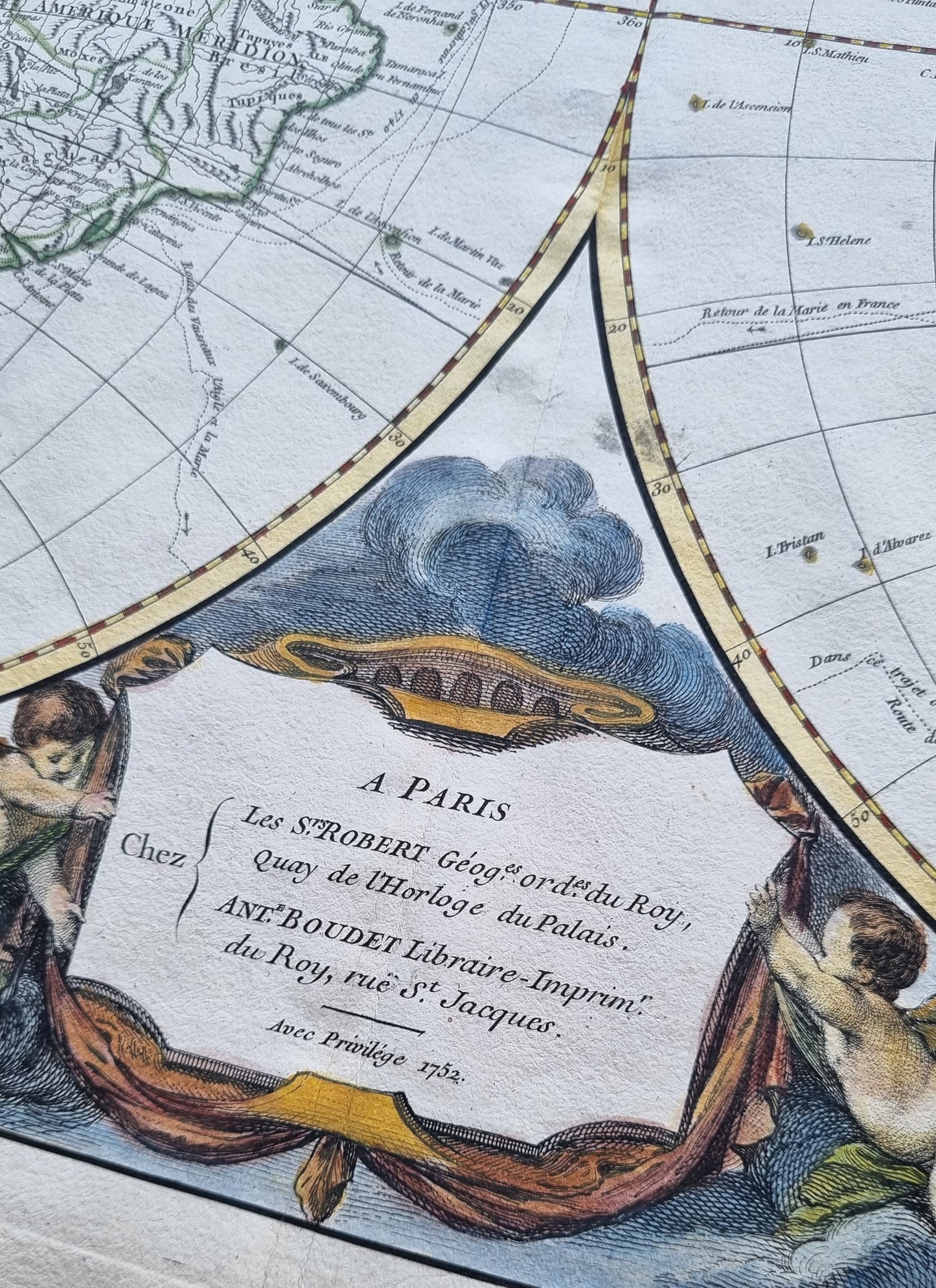
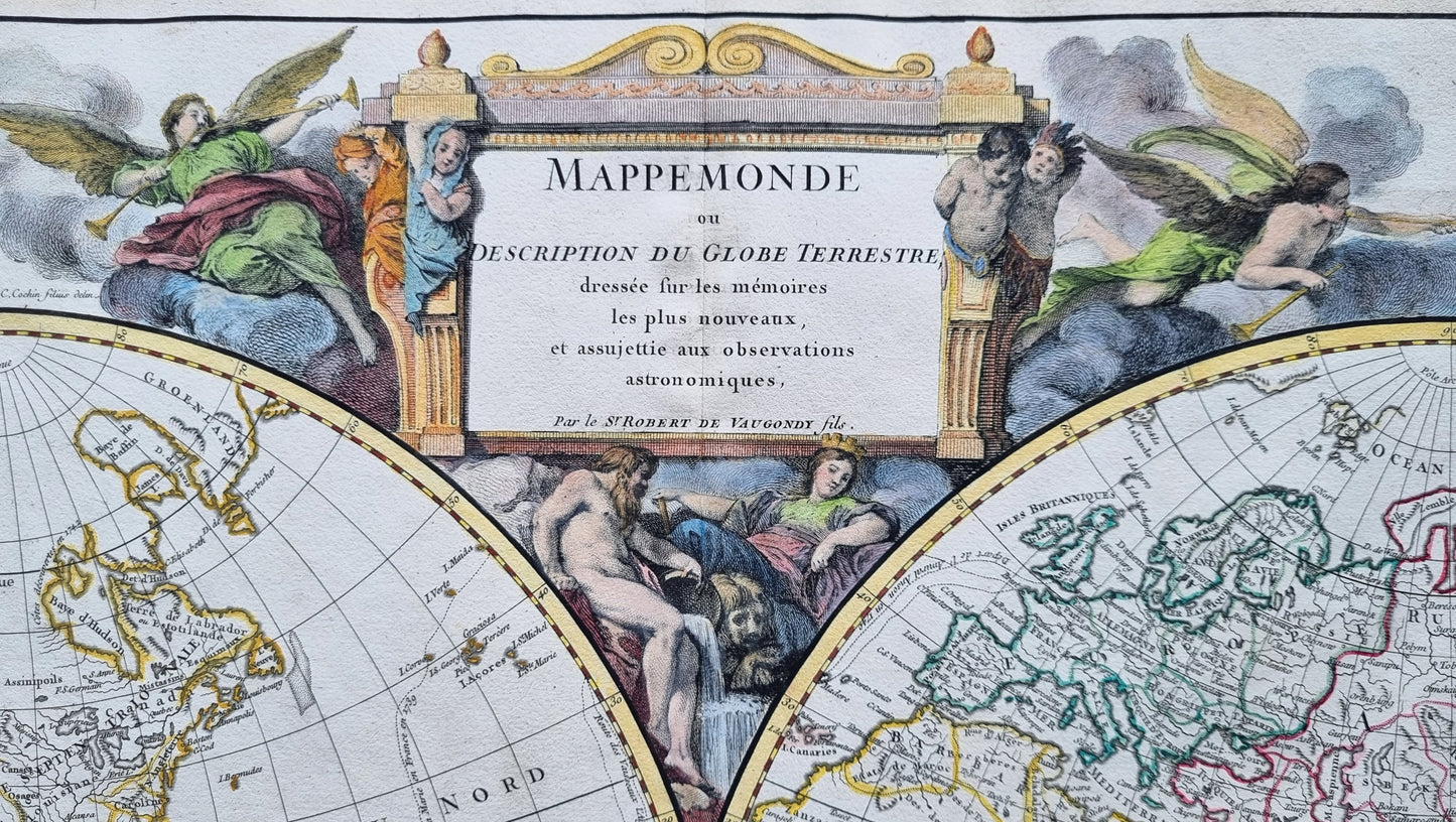
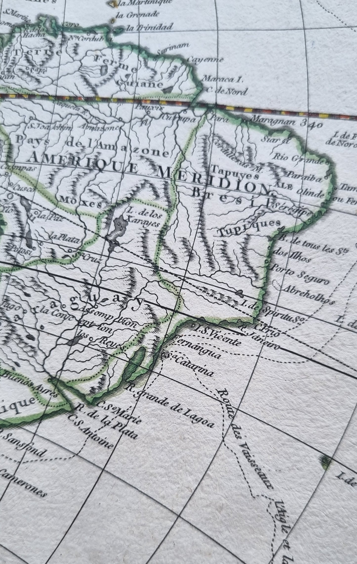
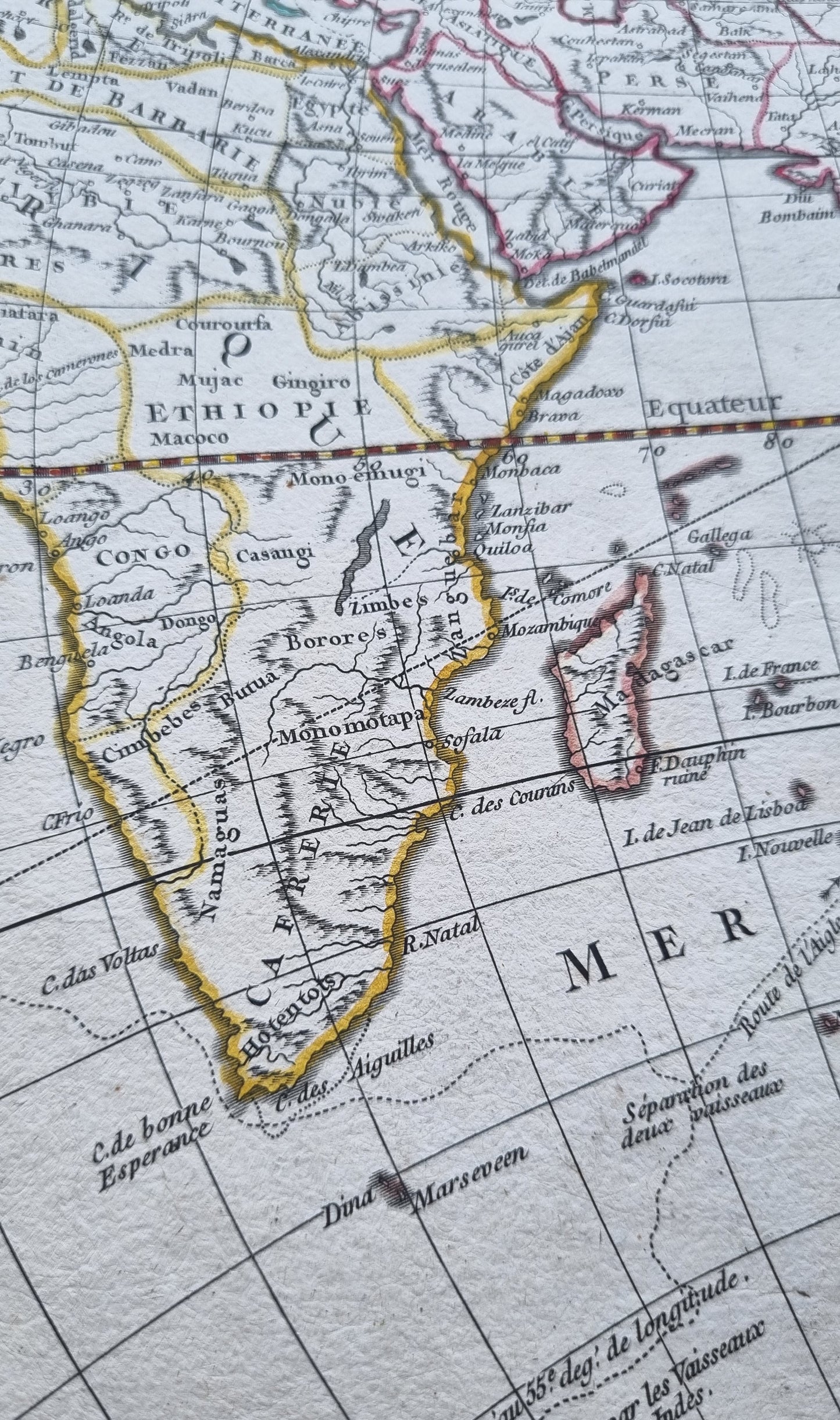
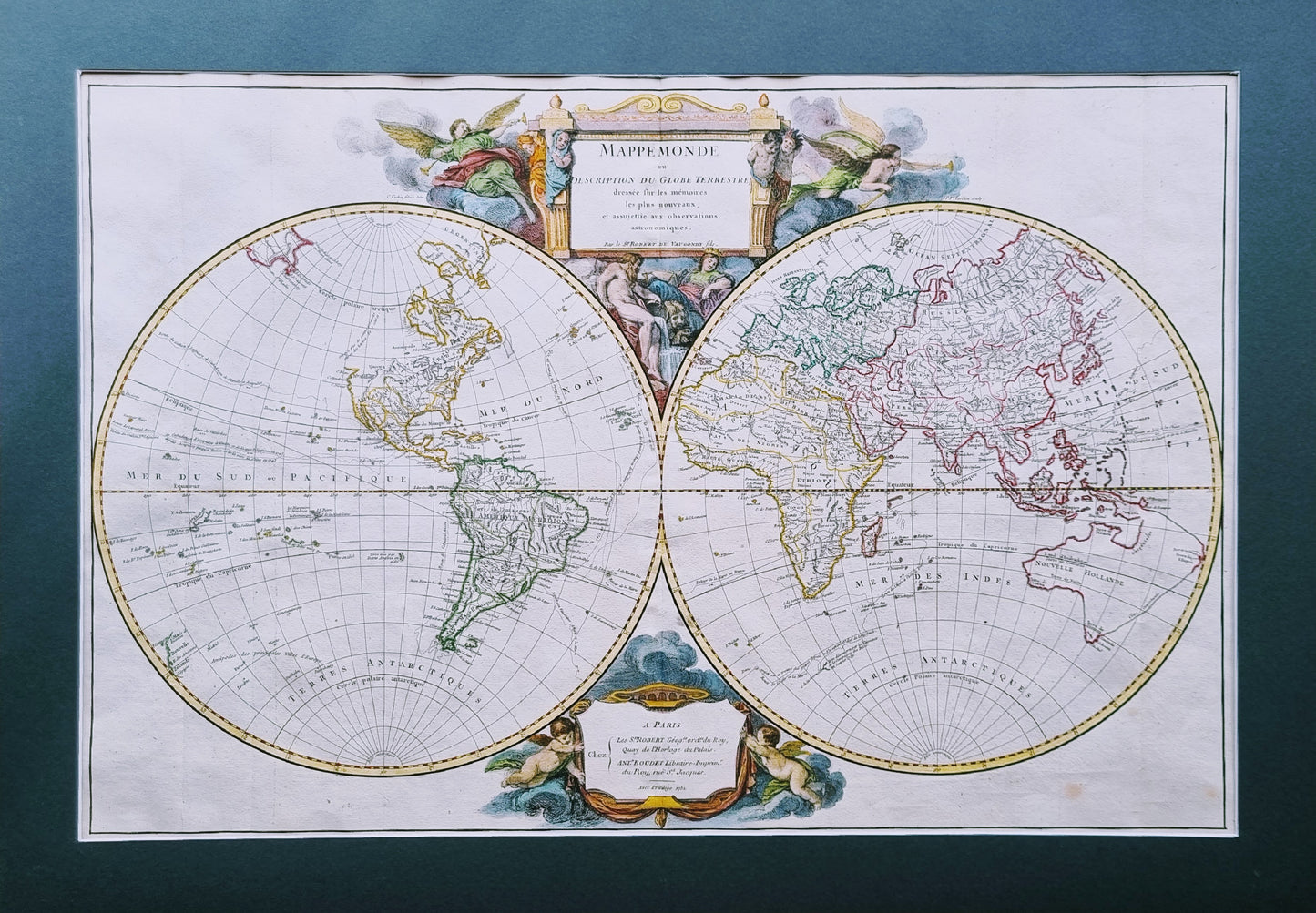
"Mappemonde ou Description du Globe Terrestre," by the prominent French cartographer Robert de Vaugondy, geographer to King Louis XV, in 1752. An exquisite, double hemisphere representation of the world, displaying both the Eastern and Western Hemispheres, embellished with ornate baroque cartouches and illustrative elements featuring classical figures, angels and cherubs.
This map displays the routes of explorers Anson, L’Aigle et la Marie and Gailon, as well as an intricate network of rivers, mountains, and other topographical features, names of countries, major cities, and other significant locales in finely detailed script.
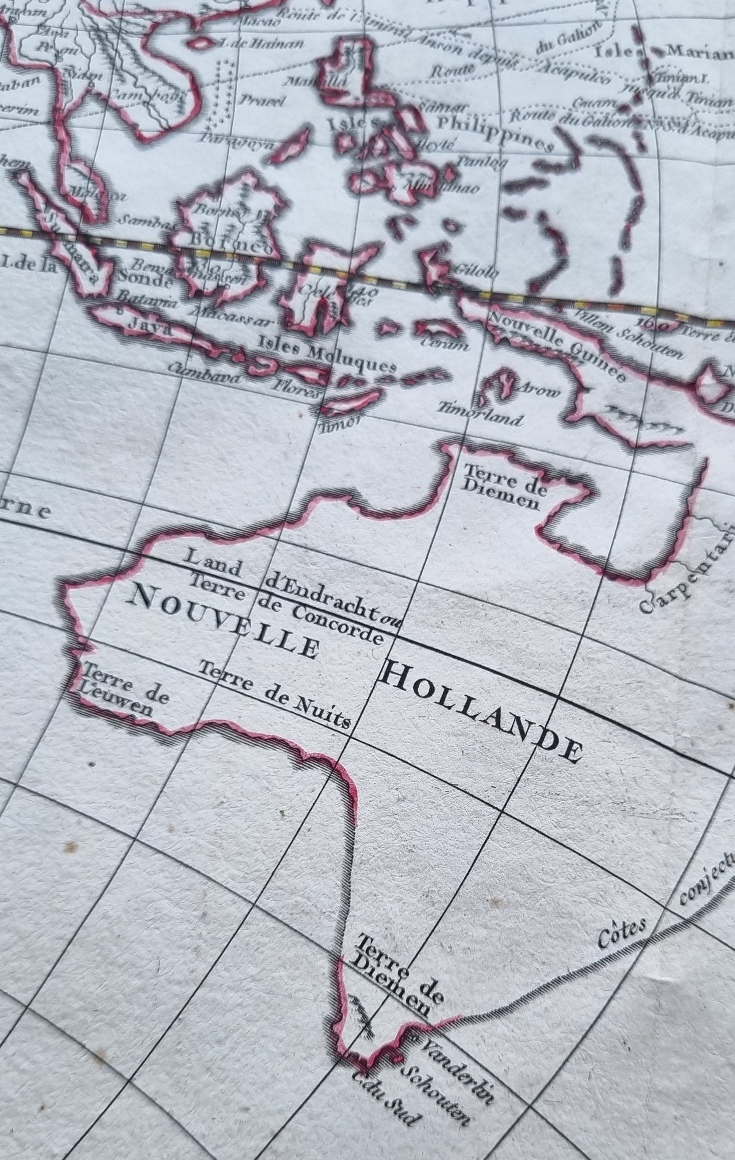
Notably, the East Coast of New Zealand is barely charted and Australia is represented as New Holland prior to the exploration of Cook, with an indicative coastline stretching from present-day Tasmania all the way to New Guinea.
A fine centrepiece to any collection, an aesthetically beautiful example with exquisite colour.
Details
- Date: 1752
- Author: Vaugondy, R.; Paris, France
- Size: 71cm x 47cm
Condition
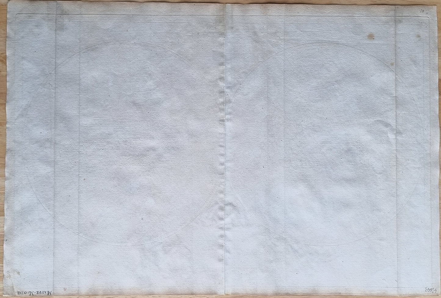
Excellent; Clear dark print with contemporary colour and recent colour additions to vignettes and cartouche. Top margin slightly trimmed. Light soiling from age, occasional spotting, most notably in bottom-right of the map outside hemisphere line.
Unframed.
1752 Mappemonde
1752 Mappemonde
Couldn't load pickup availability
1 in stock
Share
"Mappemonde ou Description du Globe Terrestre," by the prominent French cartographer Robert de Vaugondy, geographer to King Louis XV, in 1752. An exquisite, double hemisphere representation of the world, displaying both the Eastern and Western Hemispheres, embellished with ornate baroque cartouches and illustrative elements featuring classical figures, angels and cherubs.
This map displays the routes of explorers Anson, L’Aigle et la Marie and Gailon, as well as an intricate network of rivers, mountains, and other topographical features, names of countries, major cities, and other significant locales in finely detailed script.
Notably, the East Coast of New Zealand is barely charted and Australia is represented as New Holland prior to the exploration of Cook, with an indicative coastline stretching from present-day Tasmania all the way to New Guinea.
A fine centrepiece to any collection, an aesthetically beautiful example with exquisite colour.
Details
- Date: 1752
- Author: Vaugondy, R.; Paris, France
- Size: 71cm x 47cm
Condition
Excellent; Clear dark print with contemporary colour and recent colour additions to vignettes and cartouche. Top margin slightly trimmed. Light soiling from age, occasional spotting, most notably in bottom-right of the map outside hemisphere line.
Unframed.
