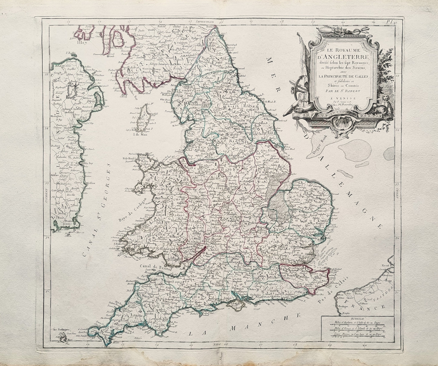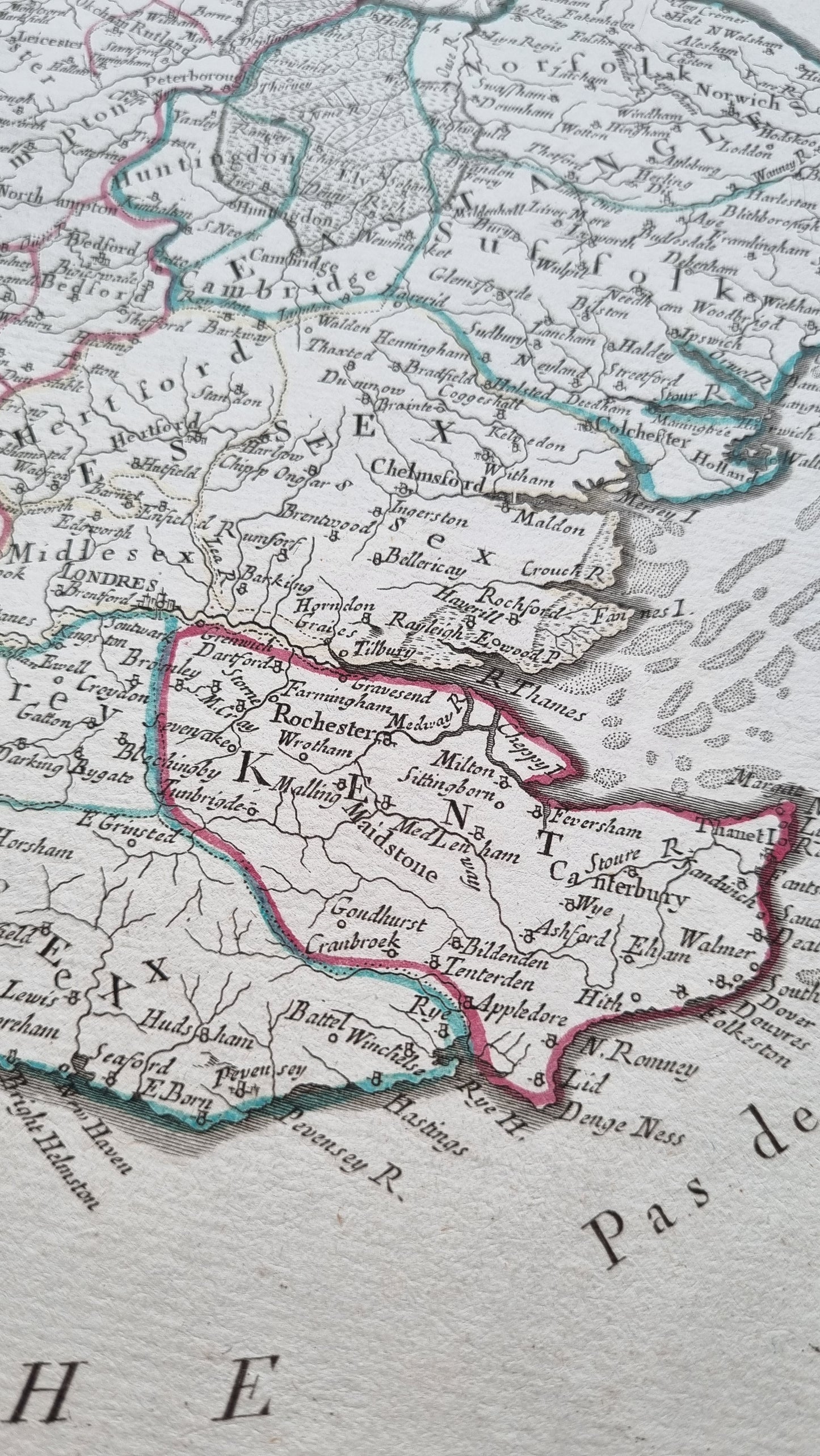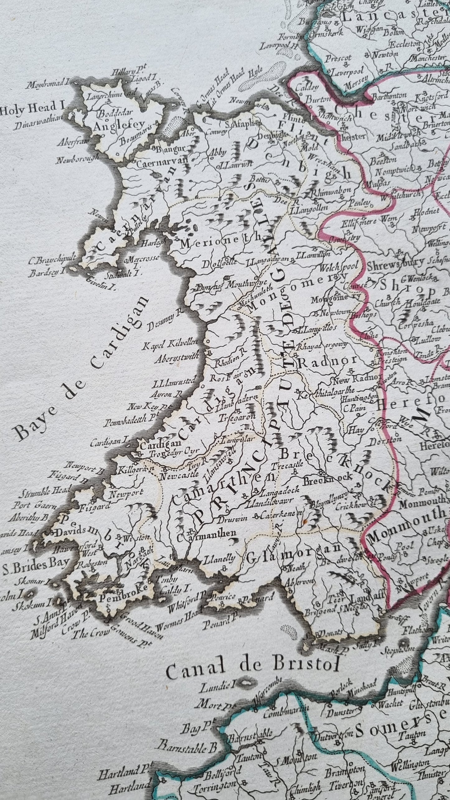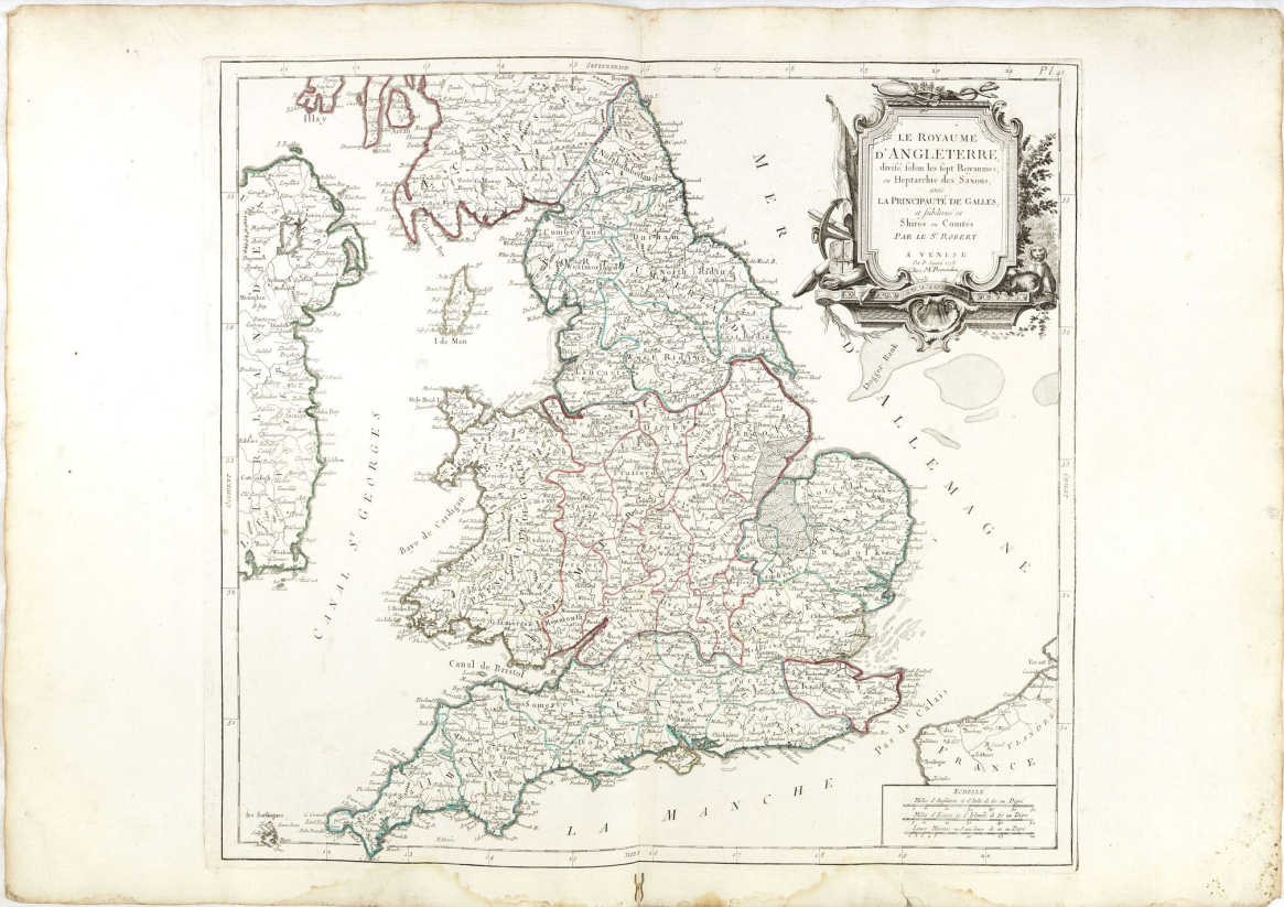


Finely and crisply engraved map of British Isles including the coasts of France and
Ireland. Venetian edition of Giles Didier Robert De Vaugondy's map from Atlas Universel
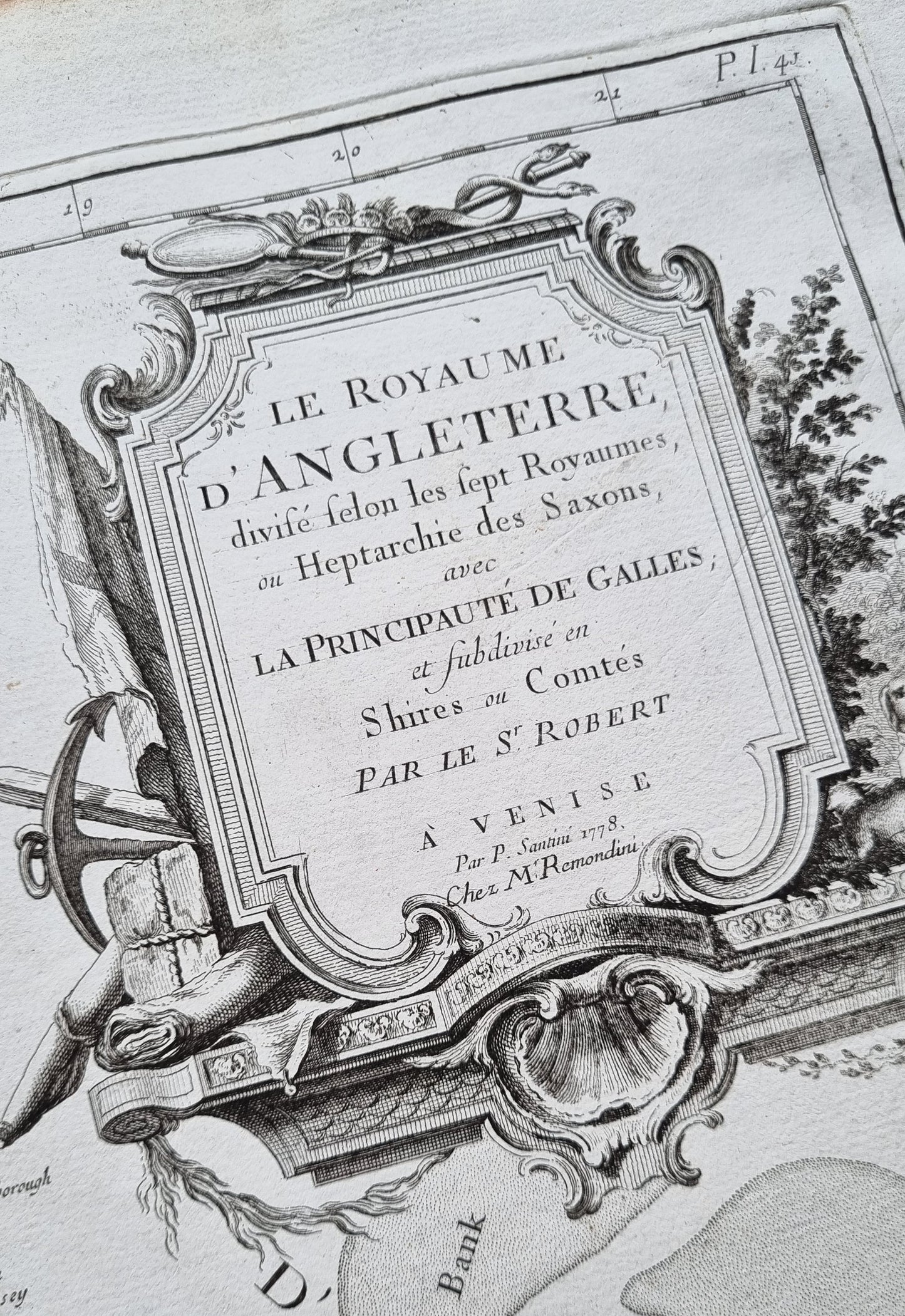
printed in 1776-84. Ornamental title cartouche in the upper right corner
Details
- Date: 1784
- Author: Santini, P. Remondini, M.; Venice, Italy
- Size: 51cm x 47cm
Condition
Good; Water staining in lower margin, just affecting the scale border. Worm trace in lower margin repaired. Else very good condition.
Unframed.
1784 Venetian map of England
1784 Venetian map of England
Couldn't load pickup availability
1 in stock
Finely and crisply engraved map of British Isles including the coasts of France and
Ireland. Venetian edition of Giles Didier Robert De Vaugondy's map from Atlas Universel
printed in 1776-84. Ornamental title cartouche in the upper right corner
Details
- Date: 1784
- Author: Santini, P. Remondini, M.; Venice, Italy
- Size: 51cm x 47cm
Condition
Good; Water staining in lower margin, just affecting the scale border. Worm trace in lower margin repaired. Else very good condition.
Unframed.