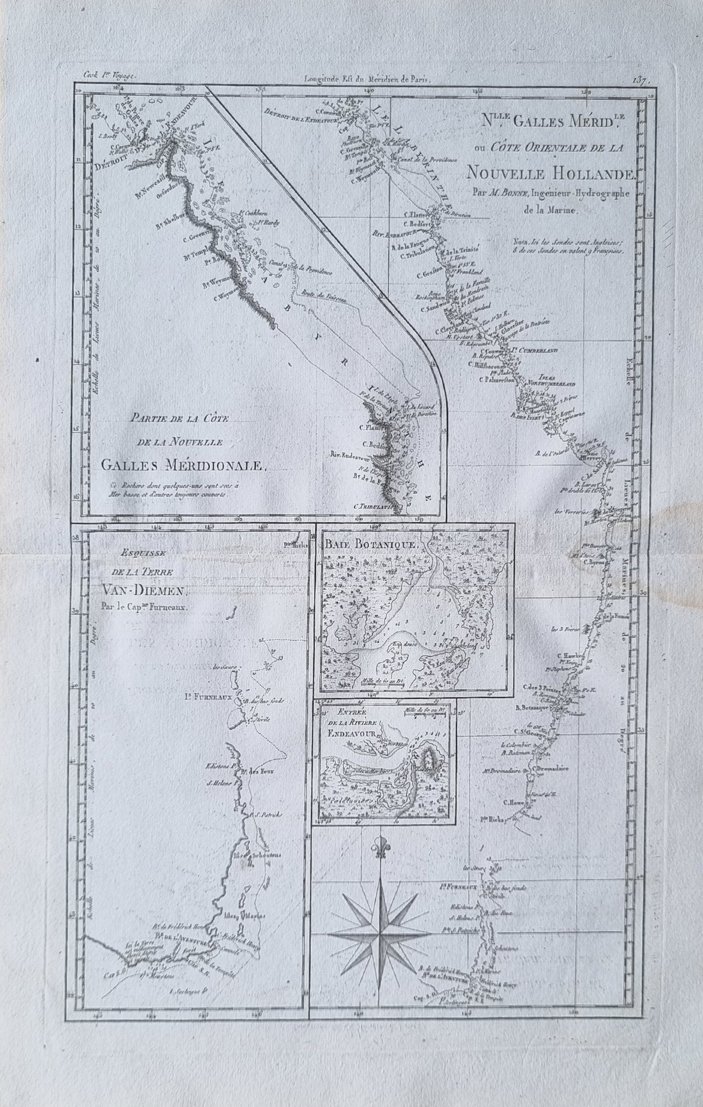
Rigobert Bonne's map of parts of southern and eastern Australia, based on earlier observations by Cook and Furneaux, published in Paris during the last quarter of the eighteenth century.
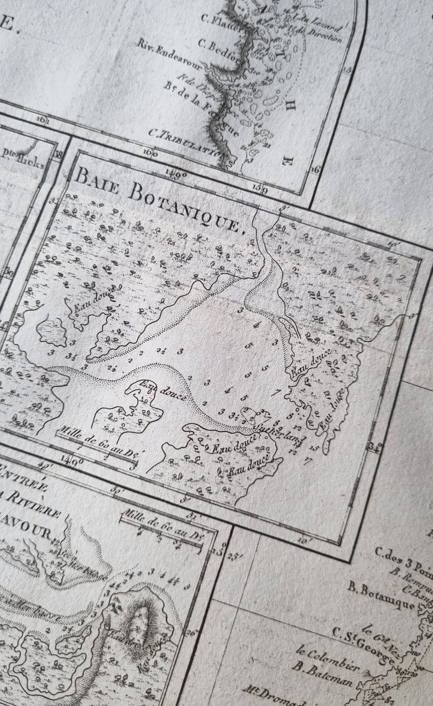
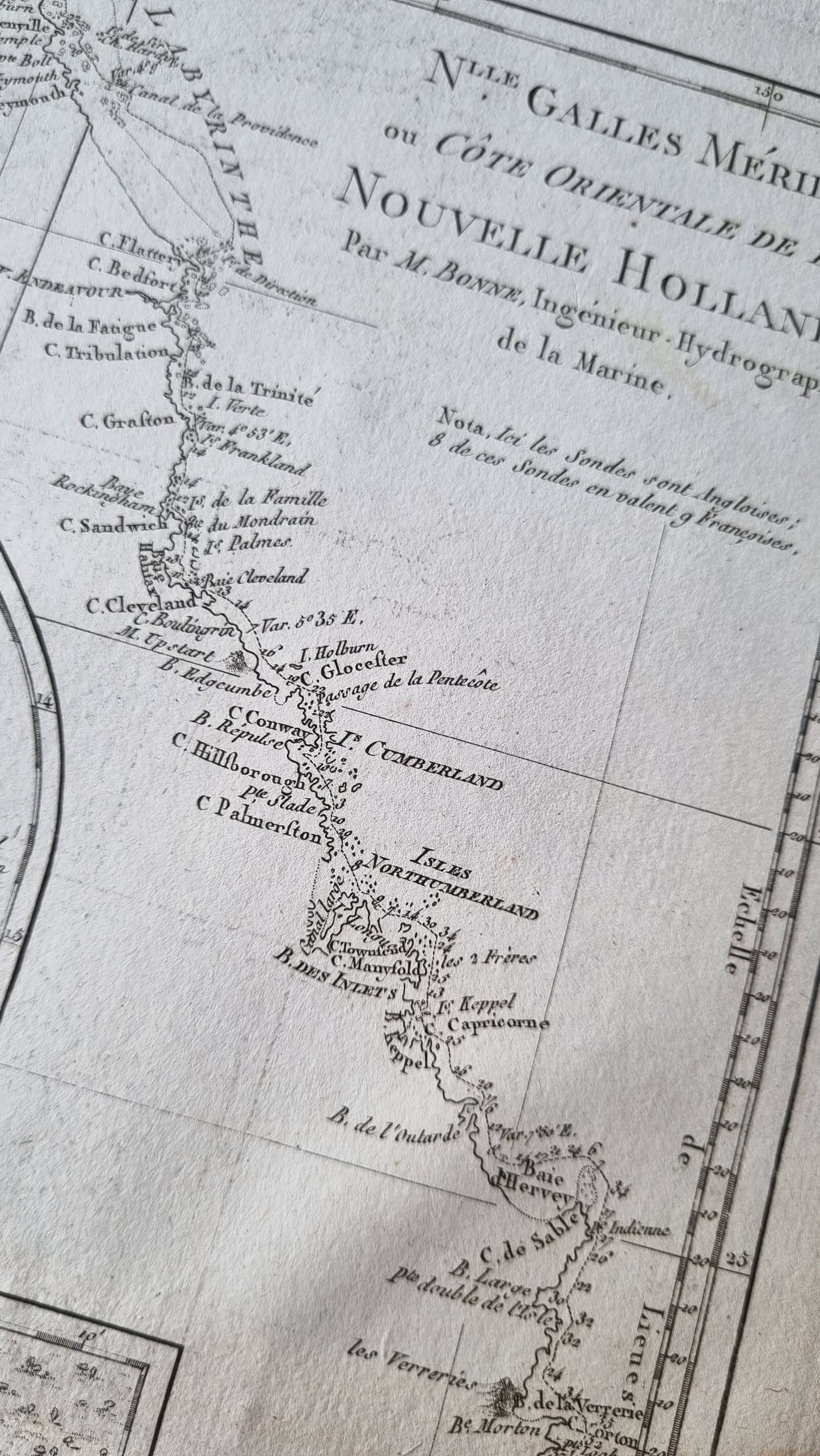
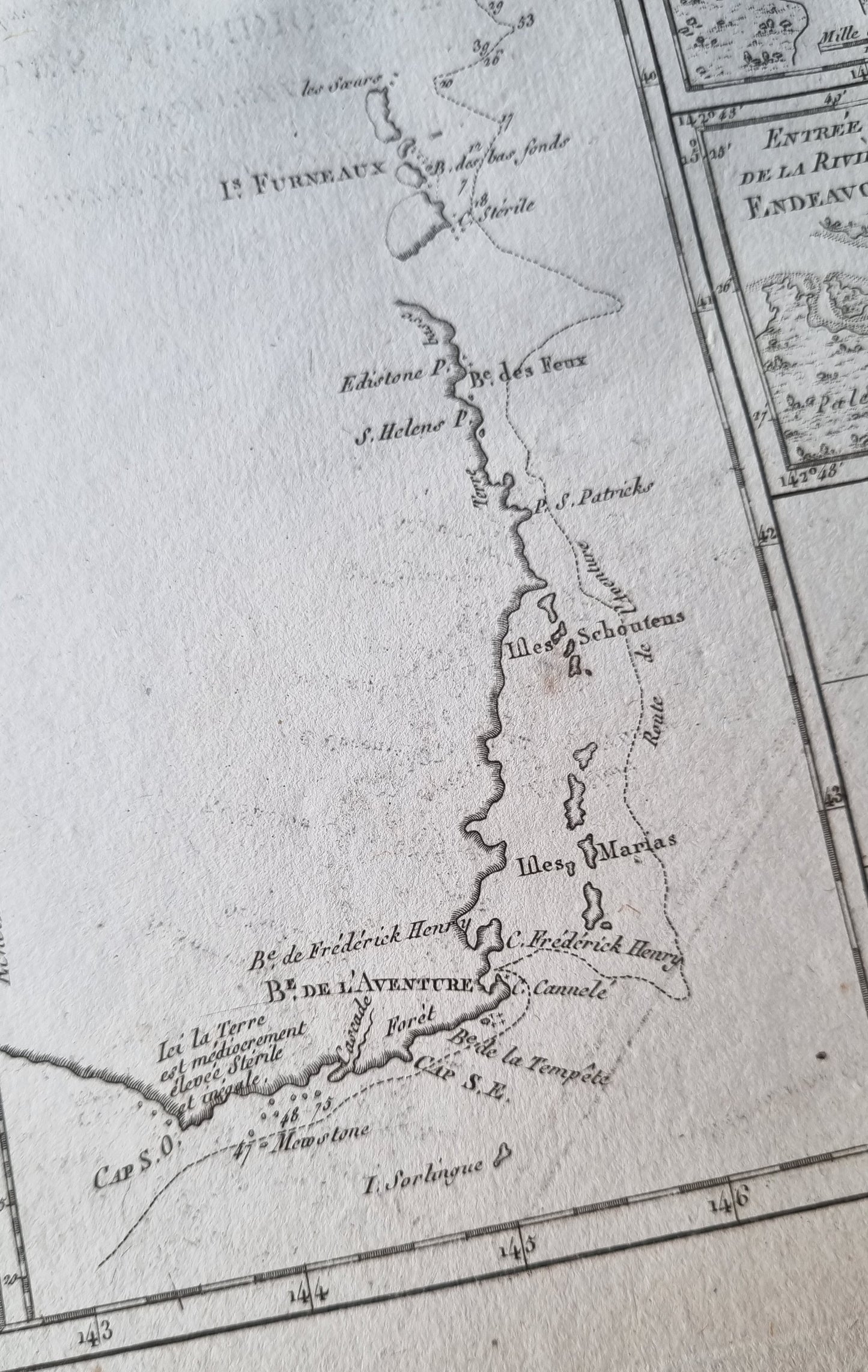
There are five engraved maps on the one plate; two maps of the eastern coast of New South Wales (Cape Cornwall to Cape Cape Tribulation & Baye de l'Aventure to Cape Cornwall), Tasmania (Aventure Bay to Furneaux Isle), Botany Bay, and the Entrance to the Endeavour River.
All are well engraved, detailed and well presented, with depth soundings, a compass rose, marshes, capes, shoals, bays, reefs, islands, and inlets. An important time for Australian cartography, so soon after its discovery.
Details
- Date: 1787
- Author: Bonne, Rigobert; Paris, France
- Size: 34.5cm x 23.5cm
- Medium: Copper plate engraving
Condition
Good; Dark impression and wide margins. Dark mark on right-side of map near the centre-fold affecting the printed image slightly. Unframed
1787 East Coast of Australia
1787 East Coast of Australia
Couldn't load pickup availability
Out of stock
Share
Rigobert Bonne's map of parts of southern and eastern Australia, based on earlier observations by Cook and Furneaux, published in Paris during the last quarter of the eighteenth century.
There are five engraved maps on the one plate; two maps of the eastern coast of New South Wales (Cape Cornwall to Cape Cape Tribulation & Baye de l'Aventure to Cape Cornwall), Tasmania (Aventure Bay to Furneaux Isle), Botany Bay, and the Entrance to the Endeavour River.
All are well engraved, detailed and well presented, with depth soundings, a compass rose, marshes, capes, shoals, bays, reefs, islands, and inlets. An important time for Australian cartography, so soon after its discovery.
Details
- Date: 1787
- Author: Bonne, Rigobert; Paris, France
- Size: 34.5cm x 23.5cm
- Medium: Copper plate engraving
Condition
Good; Dark impression and wide margins. Dark mark on right-side of map near the centre-fold affecting the printed image slightly. Unframed


