1
/
of
6
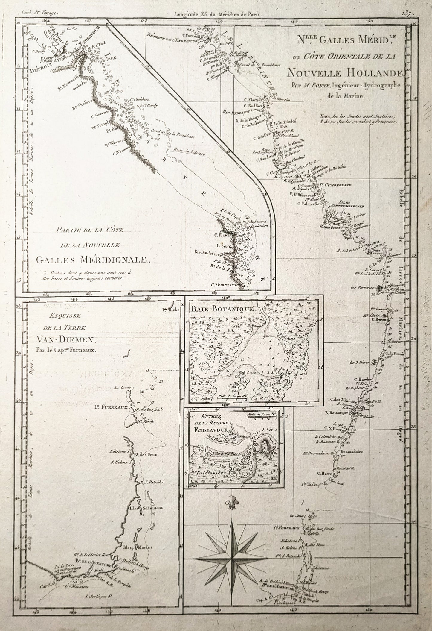
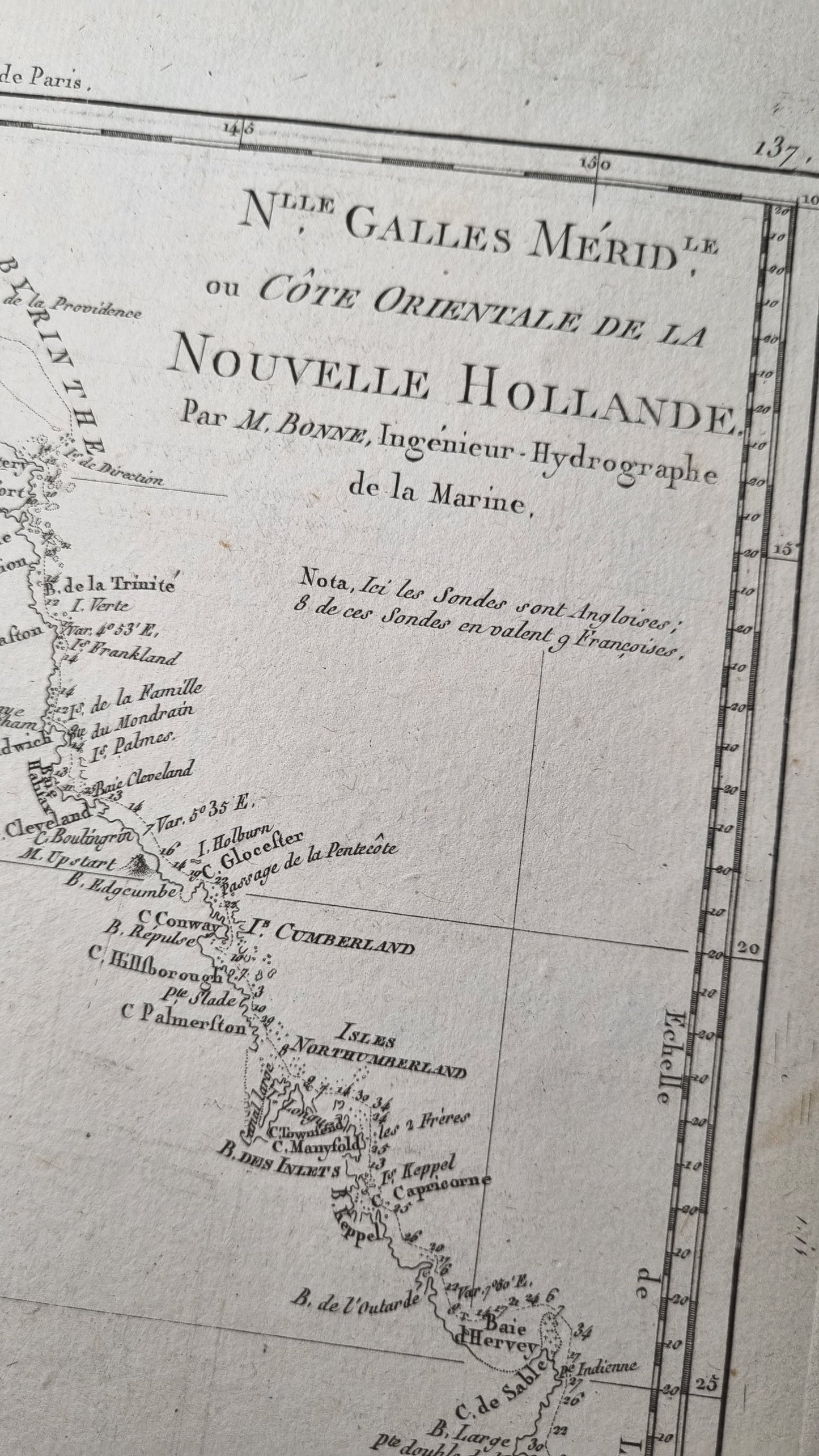
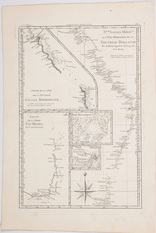
Rigobert Bonne's 1789 map of Southern and Eastern Australia, based on earlier observations by Cook and Furneaux, published in his Atlas Encyclopedique, Paris.
One of the first detailed maps of the Eastern Australian coastline publicly available before the exploration of its interior. Bonne was Royal Cartographer to France, compiling some of the most detailed and accurate maps of the period.
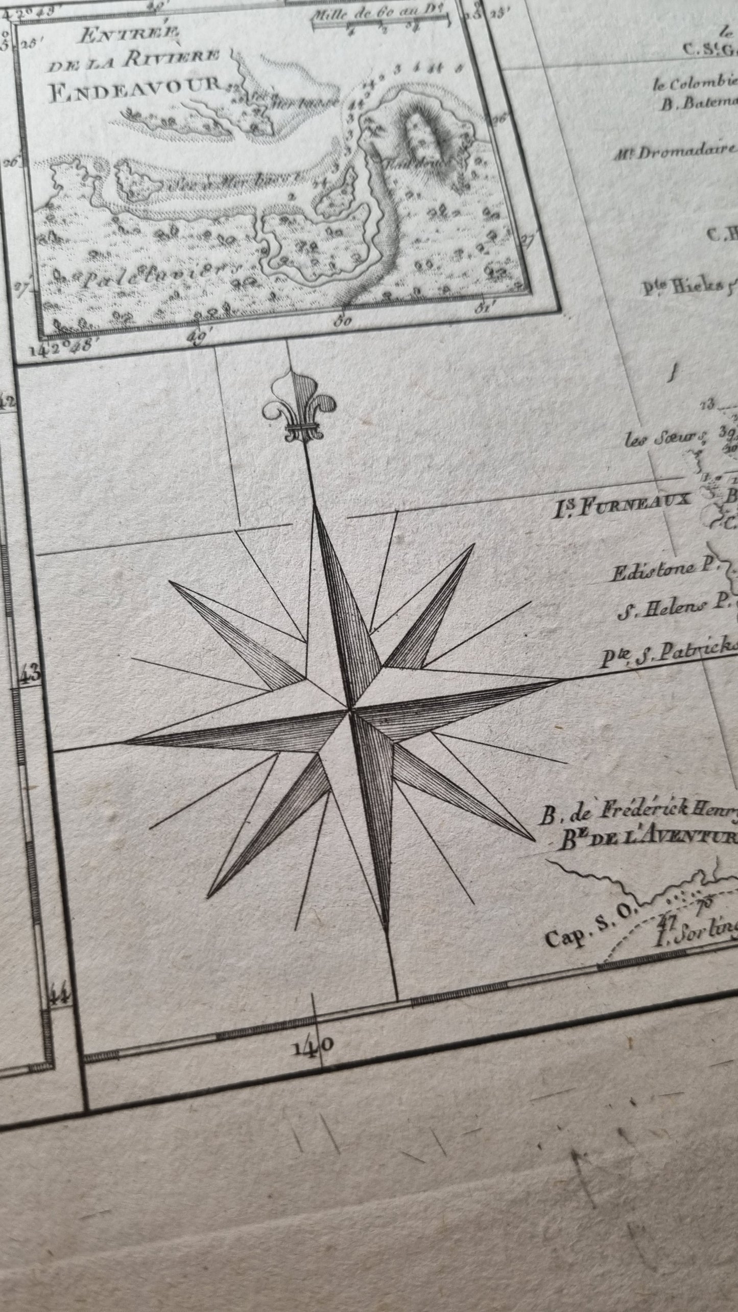
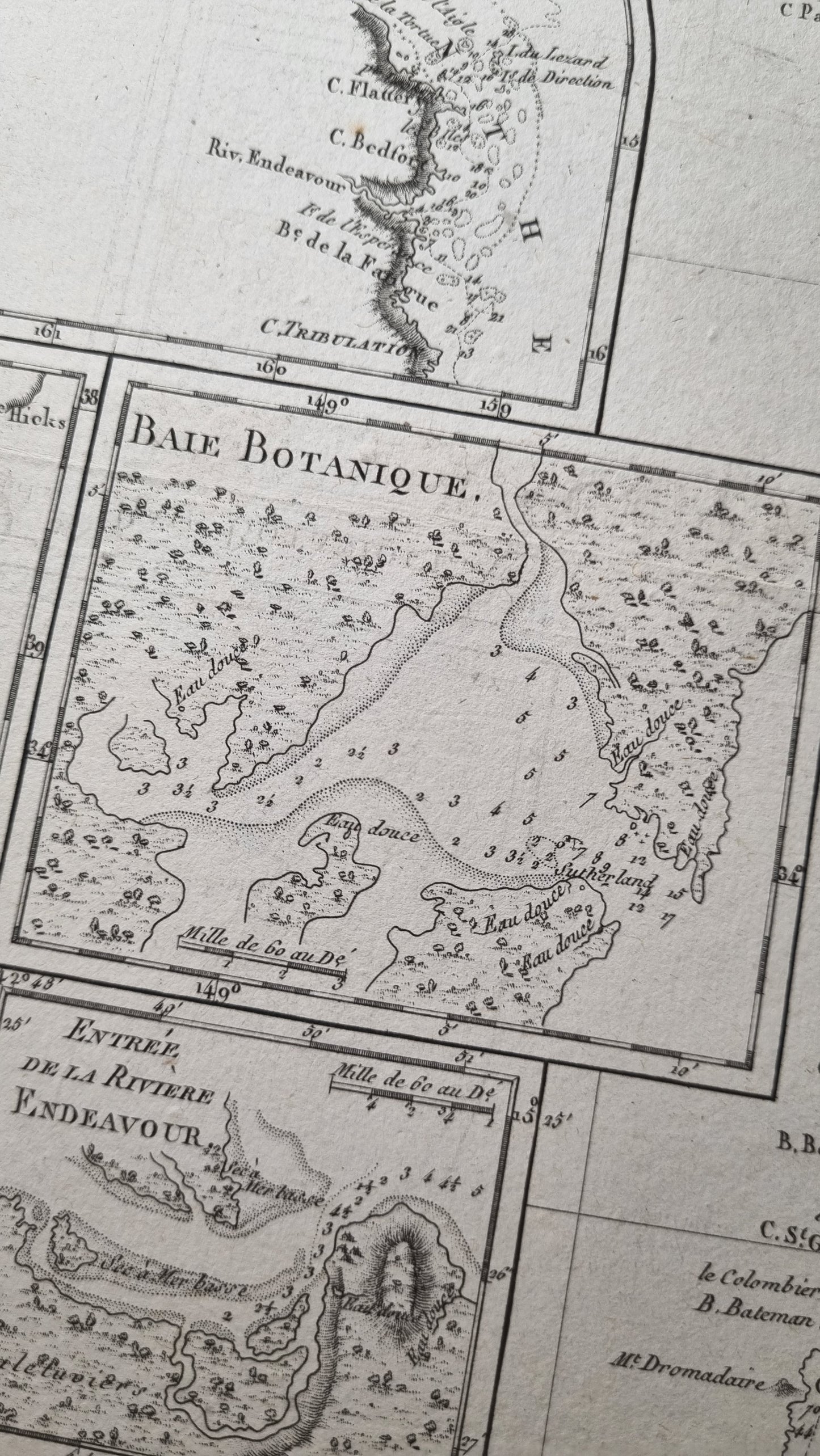
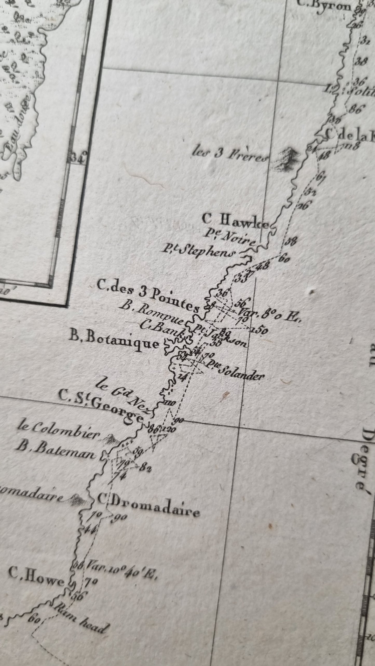
All are well engraved, detailed and well presented, with depth soundings, a compass rose, marshes, capes, shoals, bays, reefs, islands, and inlets.
Details
- Date: 1787
- Author: Bonne, Rigobert; Paris, France
- Size: 34.5cm x 23.5cm
- Medium: Copper plate engraving
Condition
Excellent; Dark impression and wide margins.
Unframed.
1787 Mapping the East Coast of Australia
1787 Mapping the East Coast of Australia
Regular price
$399.00 AUD
Regular price
Sale price
$399.00 AUD
Unit price
/
per
Shipping calculated at checkout.
Couldn't load pickup availability
Out of stock
Share
Rigobert Bonne's 1789 map of Southern and Eastern Australia, based on earlier observations by Cook and Furneaux, published in his Atlas Encyclopedique, Paris.
One of the first detailed maps of the Eastern Australian coastline publicly available before the exploration of its interior. Bonne was Royal Cartographer to France, compiling some of the most detailed and accurate maps of the period.
All are well engraved, detailed and well presented, with depth soundings, a compass rose, marshes, capes, shoals, bays, reefs, islands, and inlets.
Details
- Date: 1787
- Author: Bonne, Rigobert; Paris, France
- Size: 34.5cm x 23.5cm
- Medium: Copper plate engraving
Condition
Excellent; Dark impression and wide margins.
Unframed.
