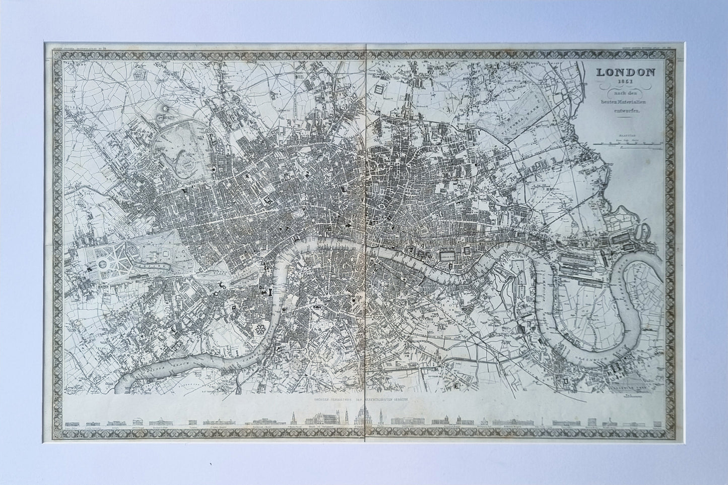
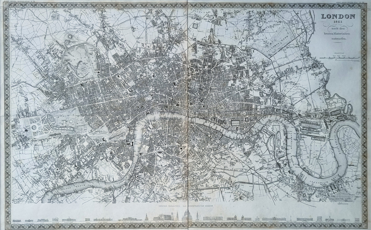
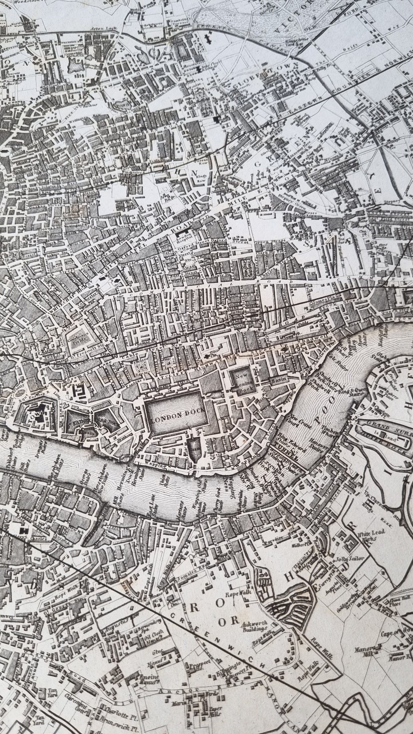
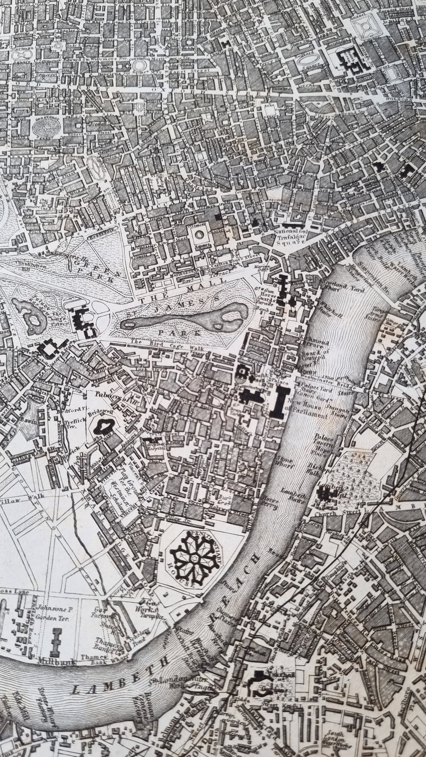
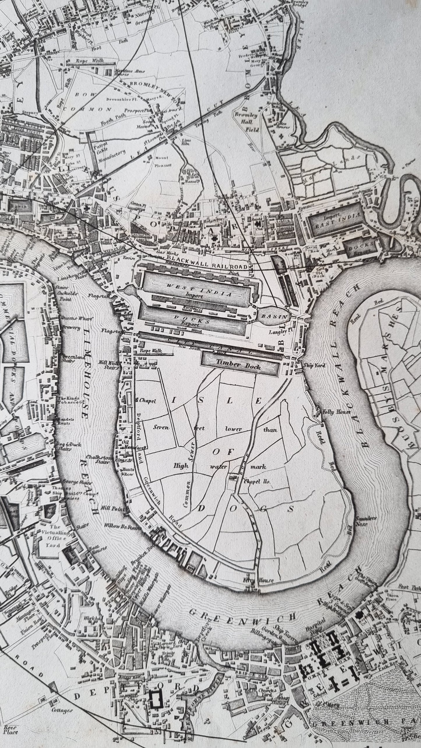
An intricate and detailed representation of London as it appeared in 1851, published by Joseph Meyer and appearing in his "Zeitungs Atlas." The map provides a snapshot of London on the brink of modern urbanism, showing key landmarks, burgeoning industrial sites, and a dense network of streets that define the city's layout. The presence of iconic structures such as Trafalgar Square and detailed renderings of the Thames River and its bridges are highlighted. Detailed vignettes of famous London landmarks are featured along the lower margin.
The map was originally published as two plates, which have been combined and joined in the centre.
Details
- Date: 1851
- Author: Meyer, Joseph; Heidelberg, Germany
- Size: 64cm x 41cm
Condition
Very Good. Dark, clear print. Two plates conjoined, with some overlap of the printed image appearing at the centre. Light browning and spotting affecting the margins. Small 1cm area of damage at the centre-join.
Unframed
1851 London
1851 London
Couldn't load pickup availability
1 in stock
Share
An intricate and detailed representation of London as it appeared in 1851, published by Joseph Meyer and appearing in his "Zeitungs Atlas." The map provides a snapshot of London on the brink of modern urbanism, showing key landmarks, burgeoning industrial sites, and a dense network of streets that define the city's layout. The presence of iconic structures such as Trafalgar Square and detailed renderings of the Thames River and its bridges are highlighted. Detailed vignettes of famous London landmarks are featured along the lower margin.
The map was originally published as two plates, which have been combined and joined in the centre.
Details
- Date: 1851
- Author: Meyer, Joseph; Heidelberg, Germany
- Size: 64cm x 41cm
Condition
Very Good. Dark, clear print. Two plates conjoined, with some overlap of the printed image appearing at the centre. Light browning and spotting affecting the margins. Small 1cm area of damage at the centre-join.
Unframed
