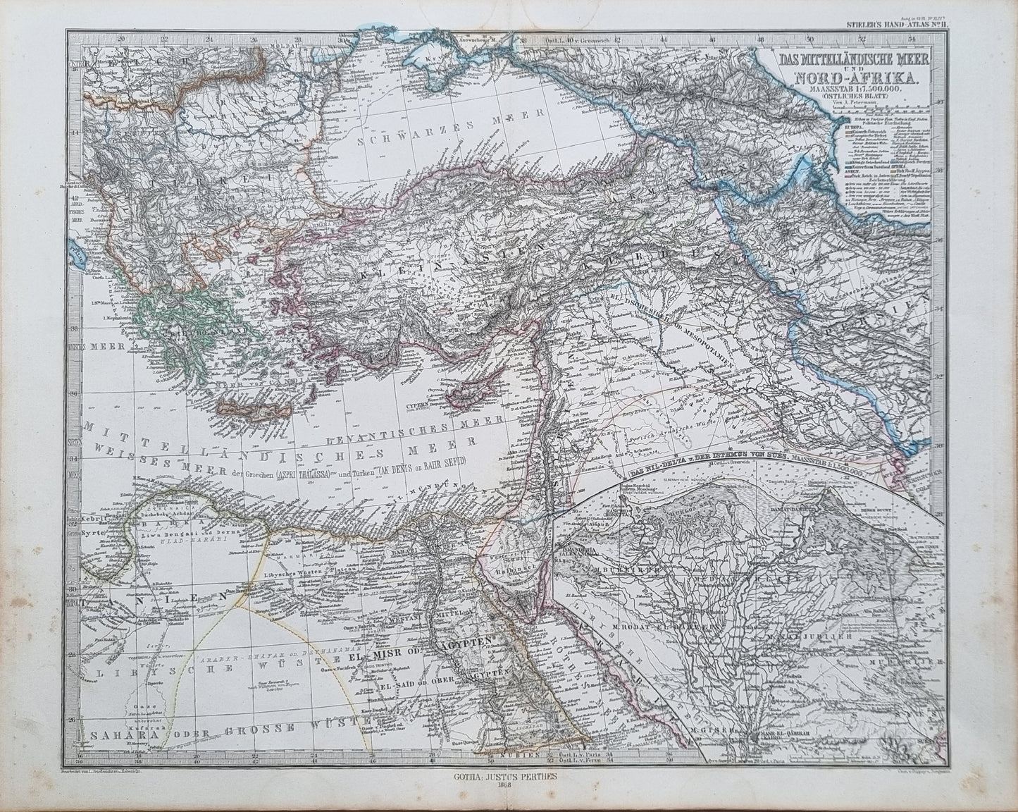
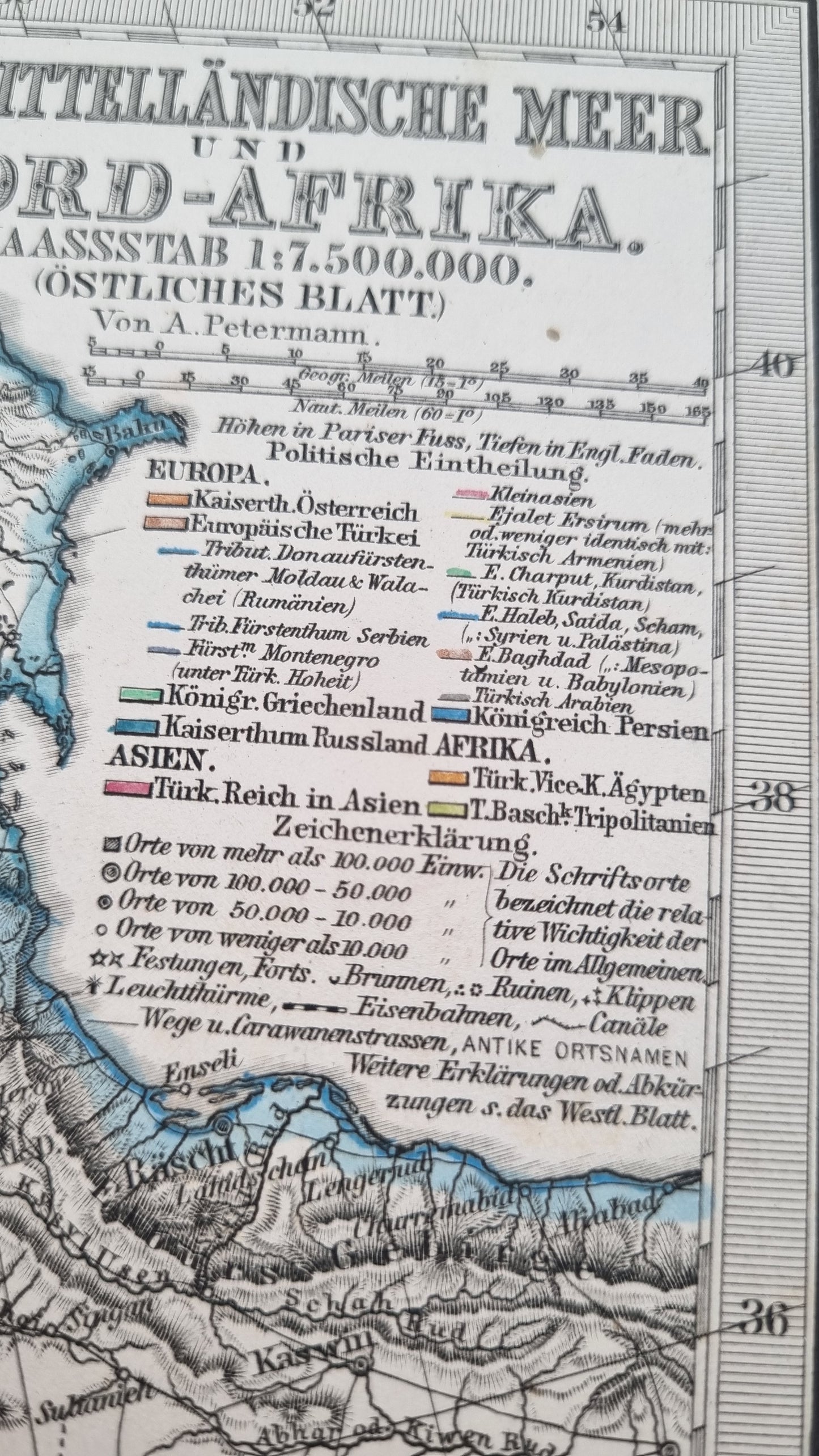
A detailed representation of North Africa and the Eastern Mediterranean from "Stieler's Hand-Atlas", published in 1868. It encompasses a vast region, with a focus on the Mediterranean coastline extending into the heart of the Sahara Desert.
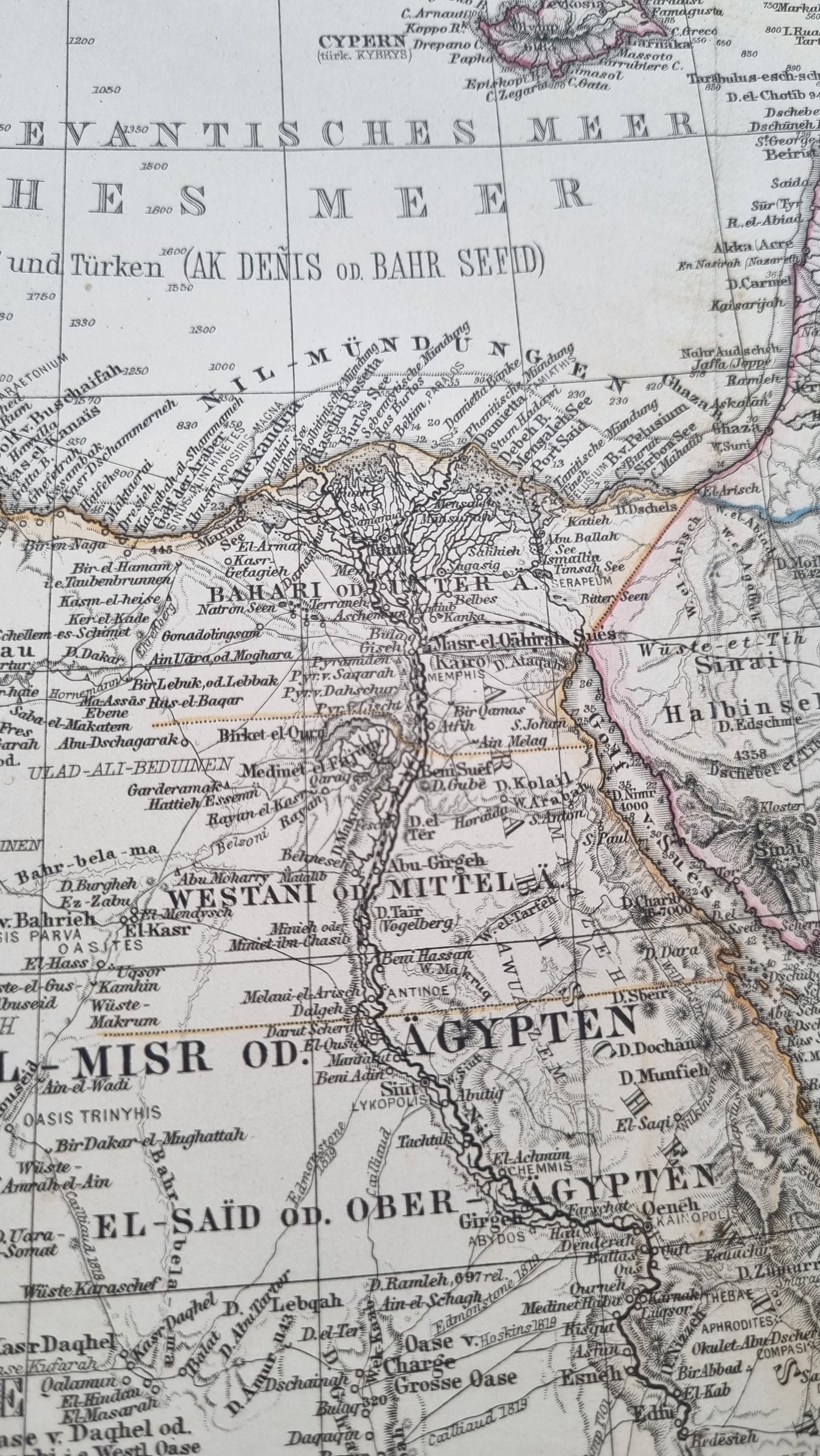
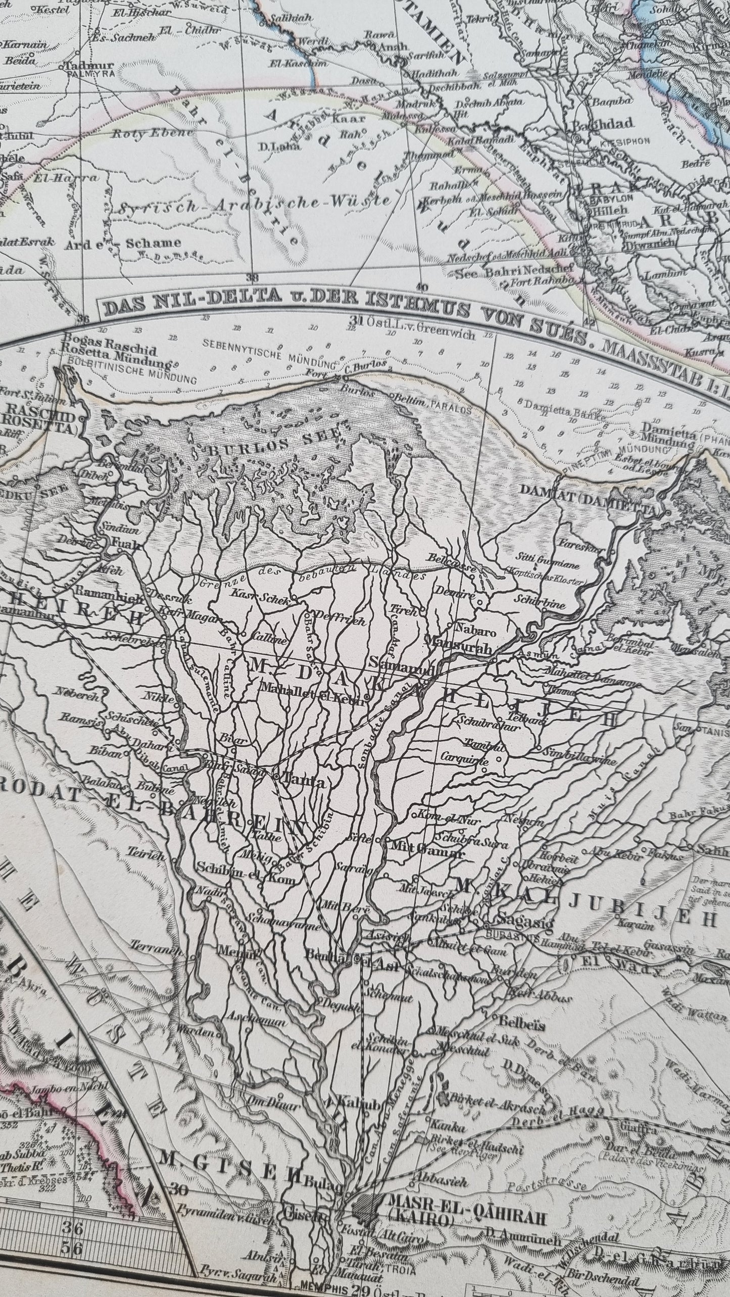
A key geographical feature on this map is the Nile River, prominently shown with its intricate network of tributaries and the Nile Delta. The map also highlights the topography of the Atlas Mountains and the undulating Sahara. It depicts the region during a time when European colonial influence was expanding, which is reflected in the territorial names and boundaries
Details
- Date: 1868
- Author: Von. A. Petermann; Gotha, Germany
- Size: 48cm x 39cm
- Medium: Woodcut engraving on original laid cloth paper
Condition
Good; Slight dark toning to edges with the occasional spot. Clear, dark print with subtle colours. Unframed
1868 North Africa and Eastern Mediterranean
1868 North Africa and Eastern Mediterranean
Couldn't load pickup availability
Out of stock
Share
A detailed representation of North Africa and the Eastern Mediterranean from "Stieler's Hand-Atlas", published in 1868. It encompasses a vast region, with a focus on the Mediterranean coastline extending into the heart of the Sahara Desert.
A key geographical feature on this map is the Nile River, prominently shown with its intricate network of tributaries and the Nile Delta. The map also highlights the topography of the Atlas Mountains and the undulating Sahara. It depicts the region during a time when European colonial influence was expanding, which is reflected in the territorial names and boundaries
Details
- Date: 1868
- Author: Von. A. Petermann; Gotha, Germany
- Size: 48cm x 39cm
- Medium: Woodcut engraving on original laid cloth paper
Condition
Good; Slight dark toning to edges with the occasional spot. Clear, dark print with subtle colours. Unframed


