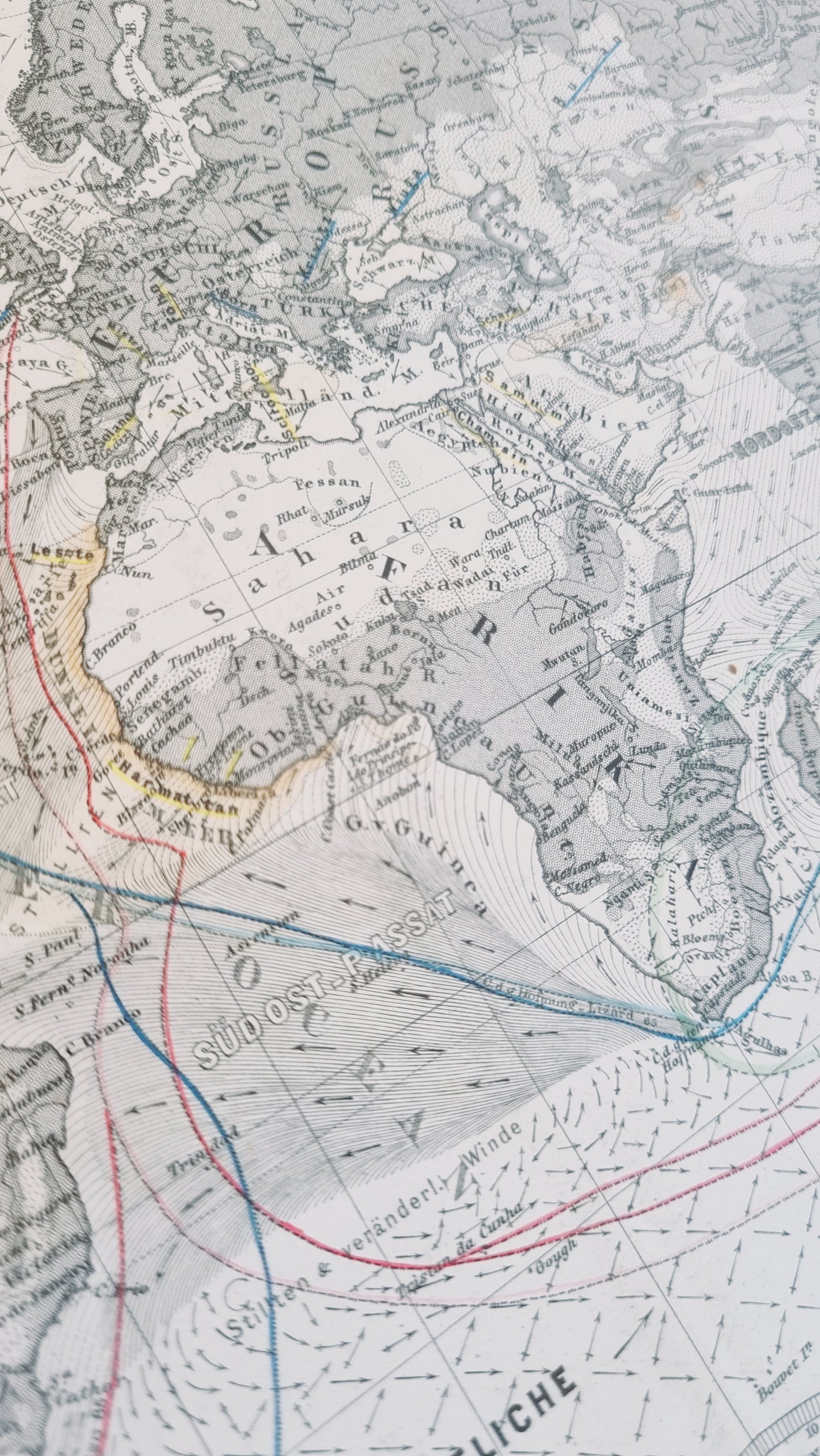
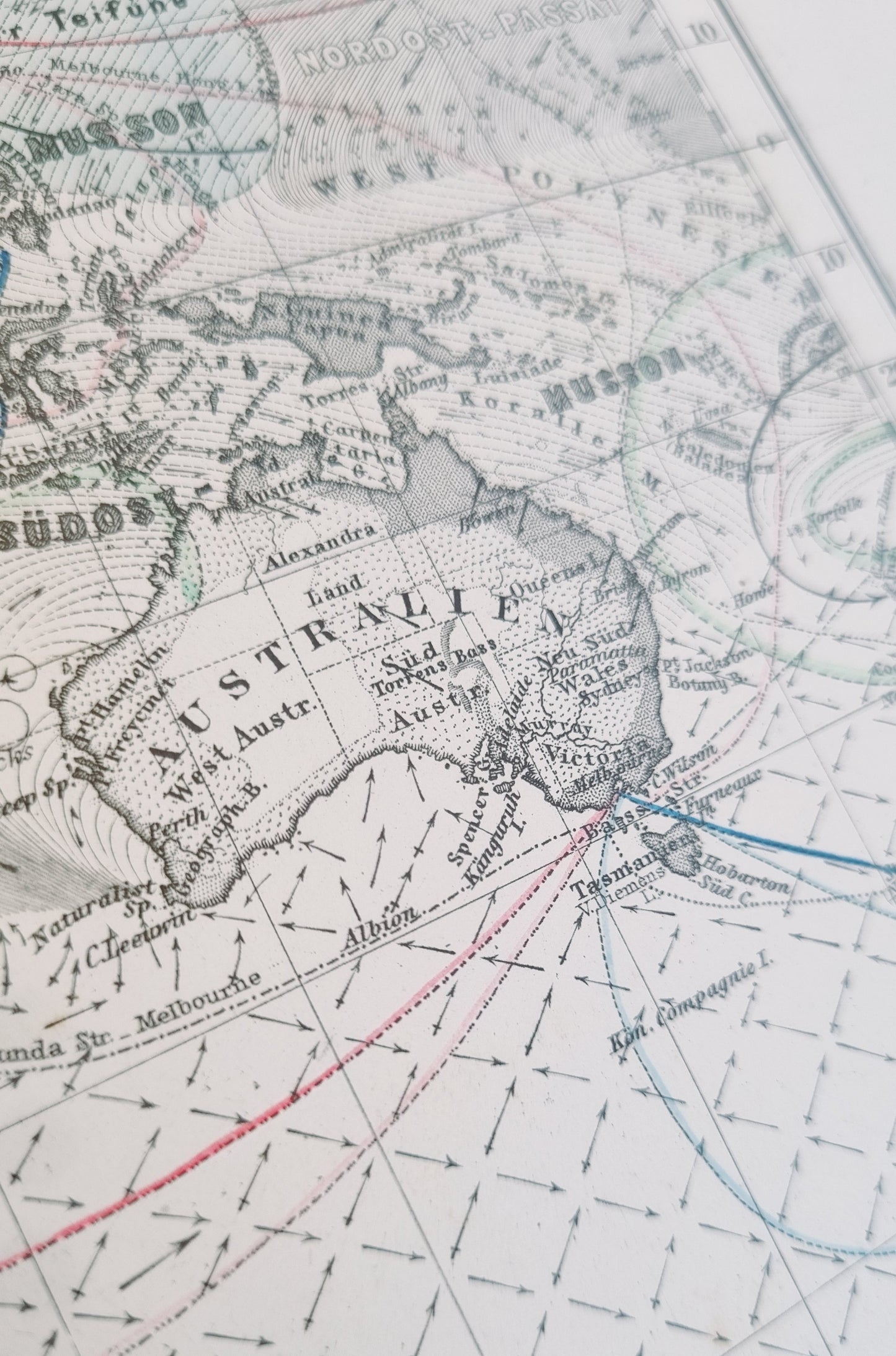
Fascinating world map, an Overview of Air Currents and Sea Routes, crafted by Hermann Berghaus and published in Stieler's Hand-Atlas.
Published in 1868, it predates the establishment of formal meteorological stations and the systematic collection of weather data. As such, it offers insights into the empirical knowledge sailors and scientists had gleaned from observations and voyages.
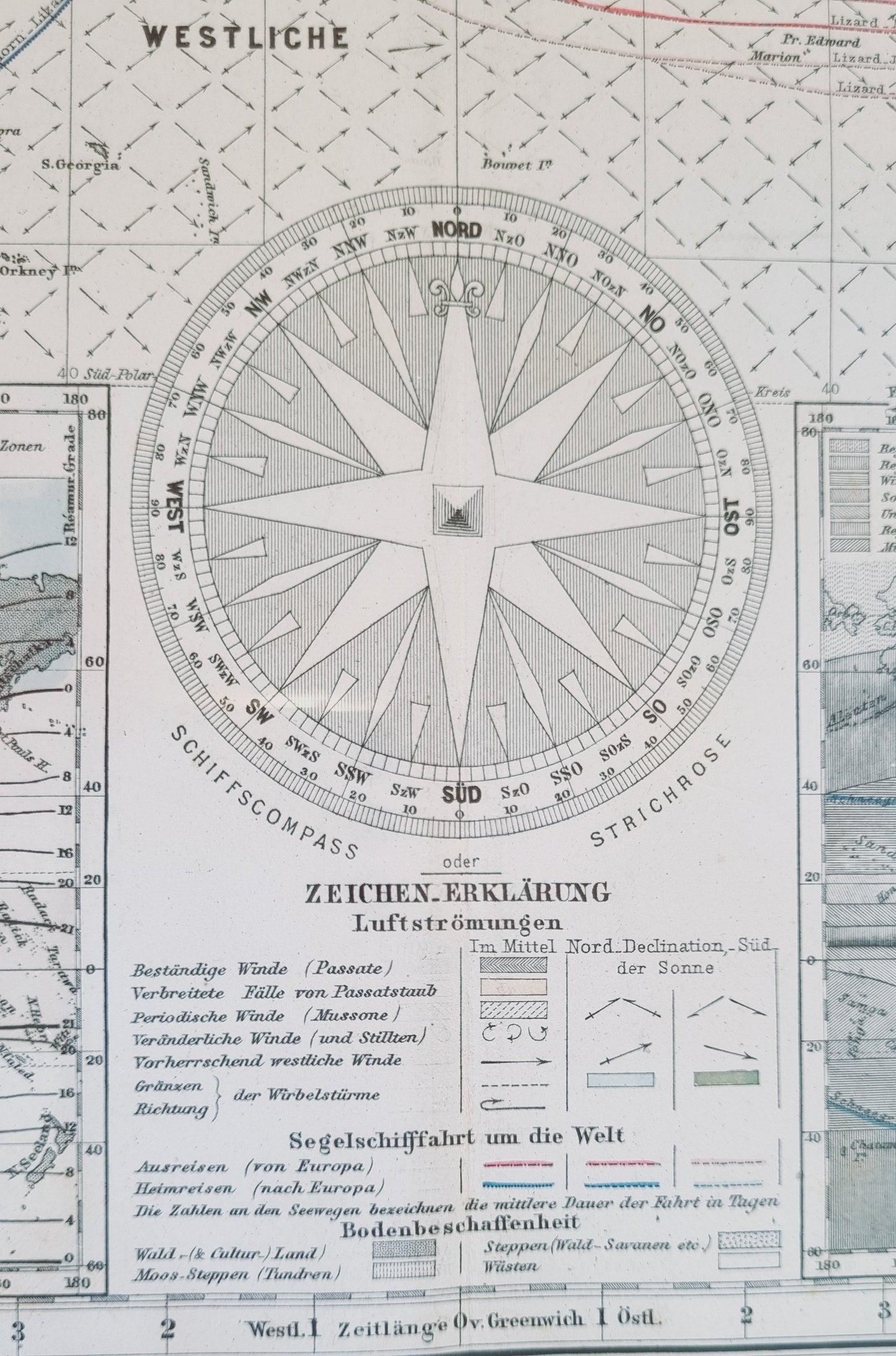
The map is intricately detailed, with color-coded lines indicating different types of winds, such as the "Passate" for trade winds and "Monsune" for monsoons. It also shows the directions of prevailing winds across continents and oceans. Sea routes are marked with numbers, indicating the average number of days for a sea voyage between different points.
Details
- Date: 1869
- Author: Berghaus, Hermann; Gotha, Germany
- Size: 48cm x 39cm
- Medium: Steel engraving
Condition
Excellent; Slight dark toning to edges. Clear, dark print with subtle colours.
Unframed.
1868 World Map of Air Currents and Sea Routes
1868 World Map of Air Currents and Sea Routes
Couldn't load pickup availability
Out of stock
Share
Fascinating world map, an Overview of Air Currents and Sea Routes, crafted by Hermann Berghaus and published in Stieler's Hand-Atlas.
Published in 1868, it predates the establishment of formal meteorological stations and the systematic collection of weather data. As such, it offers insights into the empirical knowledge sailors and scientists had gleaned from observations and voyages.
The map is intricately detailed, with color-coded lines indicating different types of winds, such as the "Passate" for trade winds and "Monsune" for monsoons. It also shows the directions of prevailing winds across continents and oceans. Sea routes are marked with numbers, indicating the average number of days for a sea voyage between different points.
Details
- Date: 1869
- Author: Berghaus, Hermann; Gotha, Germany
- Size: 48cm x 39cm
- Medium: Steel engraving
Condition
Excellent; Slight dark toning to edges. Clear, dark print with subtle colours.
Unframed.


