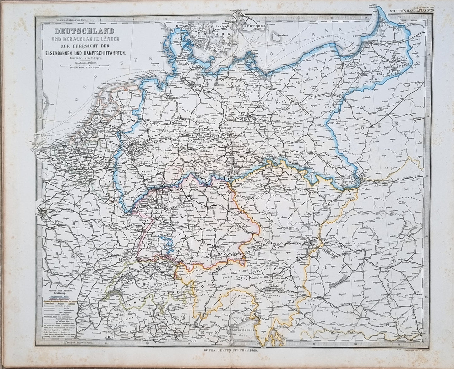
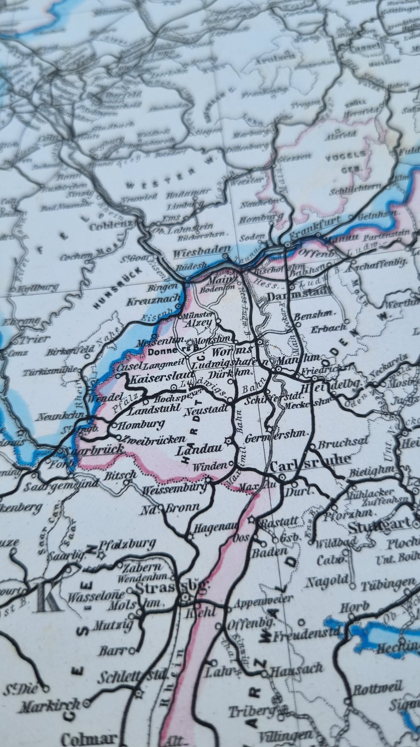
Germany and Bordering Countries - Railways and Steamship Routes, a detailed 19th-century railway and navigation map of Germany and surrounding territories. 1869 was a time of considerable expansion in railway networks across Europe, reflecting the industrial progress of the era.
The map is rich in detail, featuring not only the railways but also major waterways, which were essential for transport and commerce during that period. The use of color denotes various railway companies or states, prior to German unification in 1871.
Details
- Date: 1869
- Author: C. Vogel; Gotha, Germany
- Size: 48cm x 39cm
- Medium: Steel engraving
Condition
Very Good; Slight dark toning to edges and light foxing towards the margins. Clear, dark print with subtle colours.
Unframed.
1869 German Railways
1869 German Railways
Couldn't load pickup availability
Out of stock
Share
Germany and Bordering Countries - Railways and Steamship Routes, a detailed 19th-century railway and navigation map of Germany and surrounding territories. 1869 was a time of considerable expansion in railway networks across Europe, reflecting the industrial progress of the era.
The map is rich in detail, featuring not only the railways but also major waterways, which were essential for transport and commerce during that period. The use of color denotes various railway companies or states, prior to German unification in 1871.
Details
- Date: 1869
- Author: C. Vogel; Gotha, Germany
- Size: 48cm x 39cm
- Medium: Steel engraving
Condition
Very Good; Slight dark toning to edges and light foxing towards the margins. Clear, dark print with subtle colours.
Unframed.


