


A remarkable 1869 map of the British Isles by Augustus Heinrich Petermann, included in Stieler's Hand Atlas, a pivotal work in the golden age of German cartography.
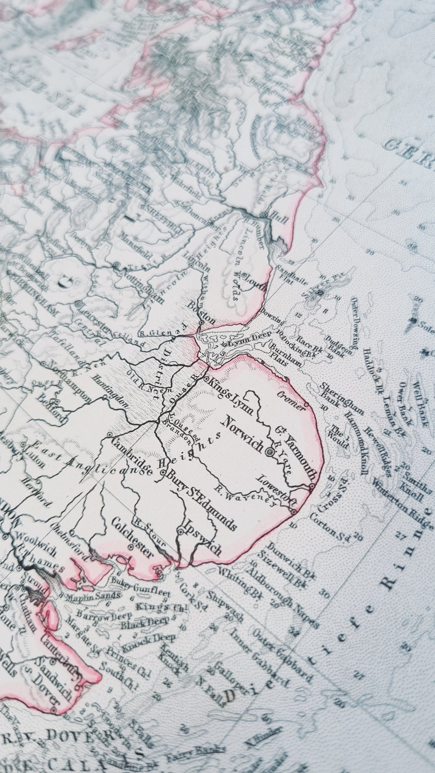
Representing Britain at the zenith of its imperial power, this map features the British Isles with a focus on towns, rivers and topographical details such as mountain ranges and sea depths.
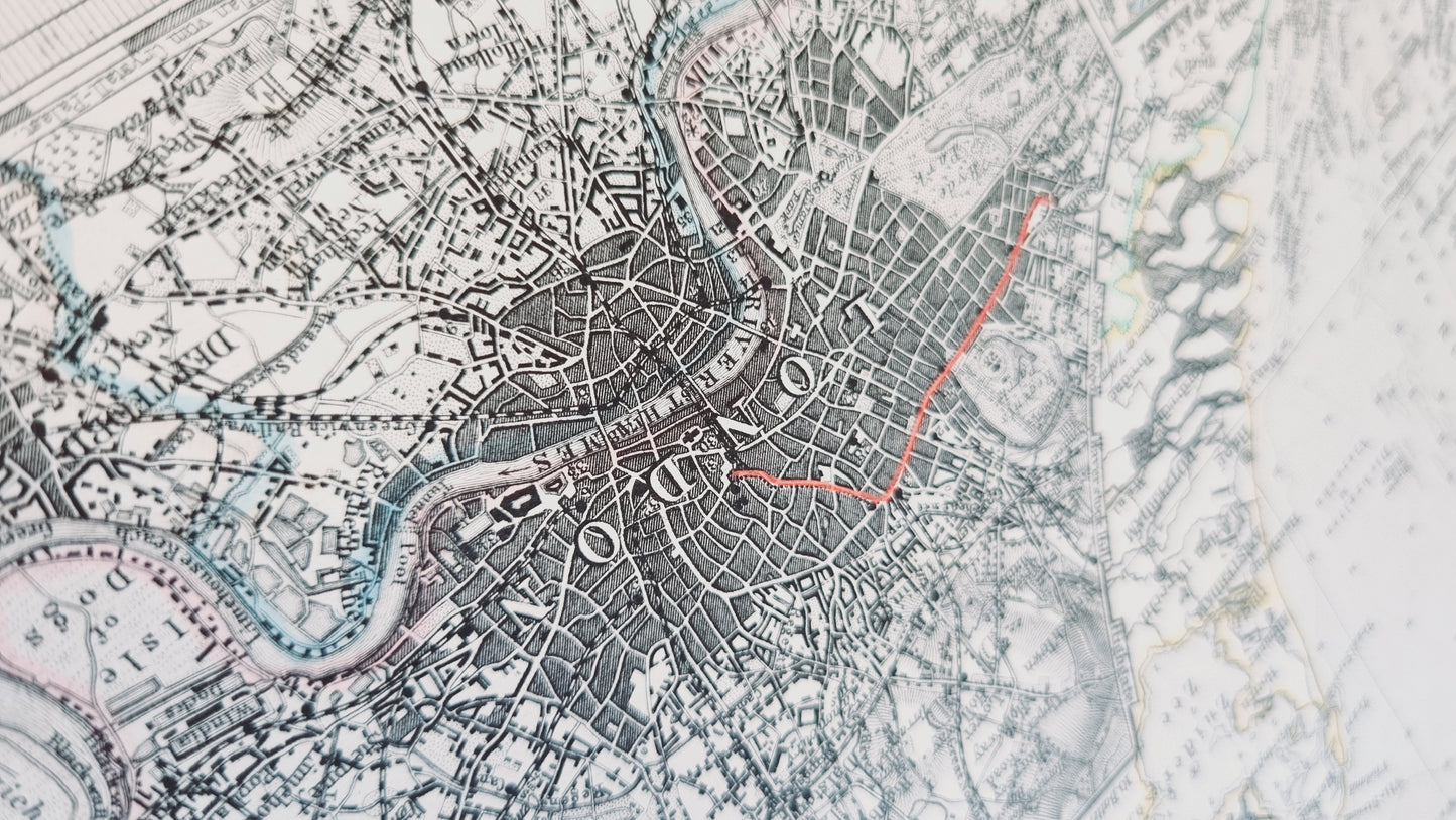
Particularly notable are several insets, showing the Crystal Palace and London's sprawl and layout during the Victorian era, a time of rapid industrial growth and urban expansion. A detailed depiction of Heligoland and the dramatic illustration of the Rockall add to its charm.
Details
- Date: 1869
- Author: A Petermann; Gotha, Germany
- Size: 48cm x 39cm
- Medium: Steel engraving
Condition
Excellent; Slight dark toning to edges and light foxing towards the margins. Clear, dark print with subtle colours.
Unframed.
1869 Great Britain
1869 Great Britain
Couldn't load pickup availability
1 in stock
A remarkable 1869 map of the British Isles by Augustus Heinrich Petermann, included in Stieler's Hand Atlas, a pivotal work in the golden age of German cartography.
Representing Britain at the zenith of its imperial power, this map features the British Isles with a focus on towns, rivers and topographical details such as mountain ranges and sea depths.
Particularly notable are several insets, showing the Crystal Palace and London's sprawl and layout during the Victorian era, a time of rapid industrial growth and urban expansion. A detailed depiction of Heligoland and the dramatic illustration of the Rockall add to its charm.
Details
- Date: 1869
- Author: A Petermann; Gotha, Germany
- Size: 48cm x 39cm
- Medium: Steel engraving
Condition
Excellent; Slight dark toning to edges and light foxing towards the margins. Clear, dark print with subtle colours.
Unframed.