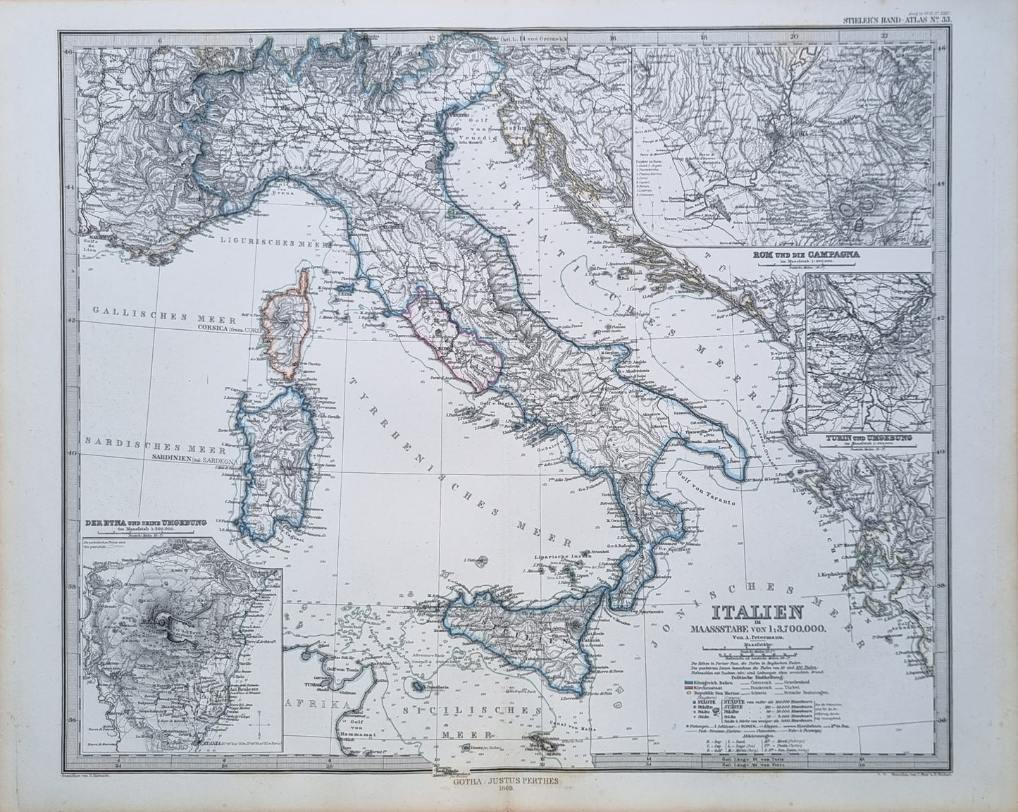
A fine example of 19th-century Italy by von A. Petermann, displaying its detailed topography, administrative divisions, and transportation networks such as roads and railways.
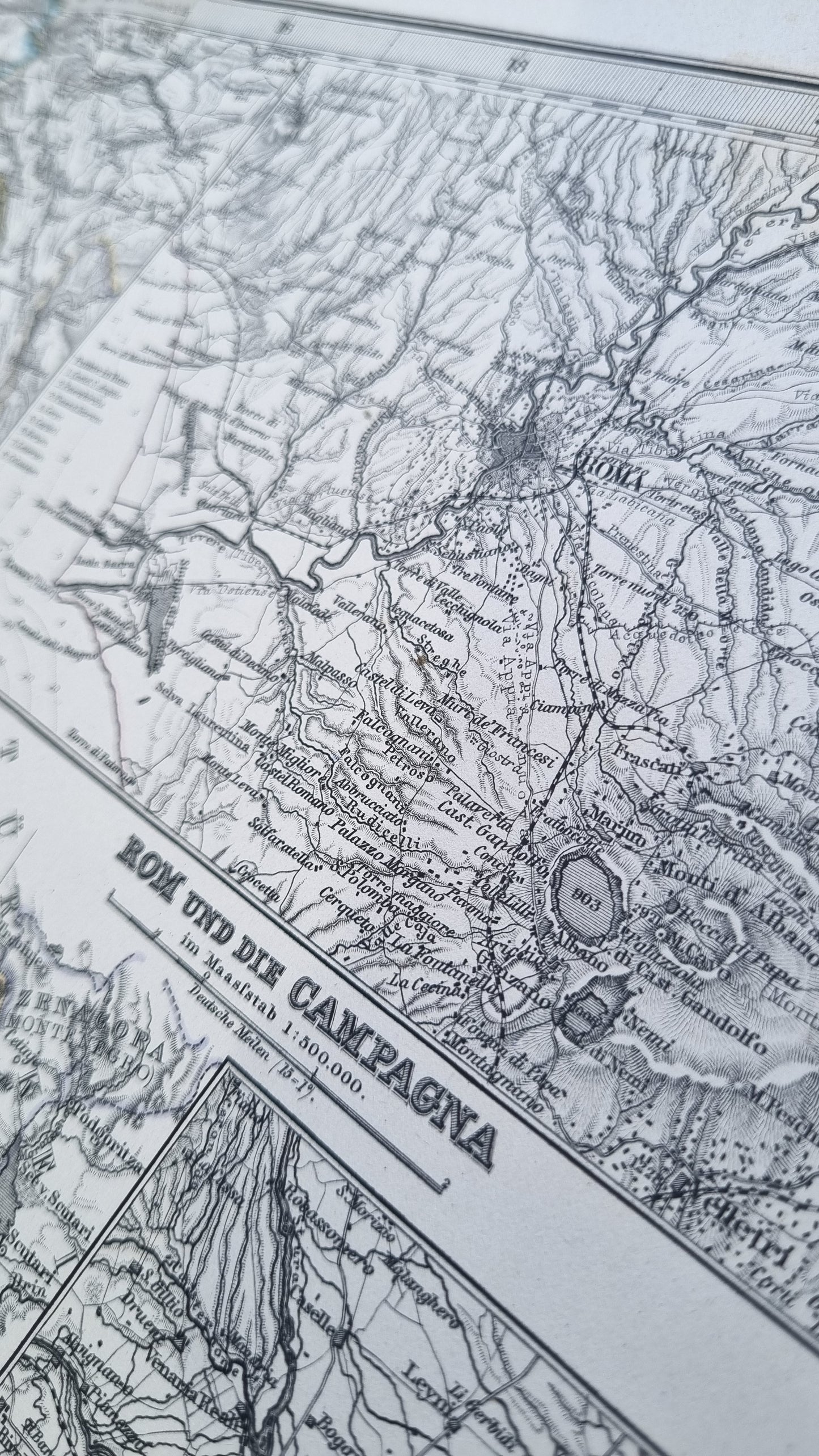
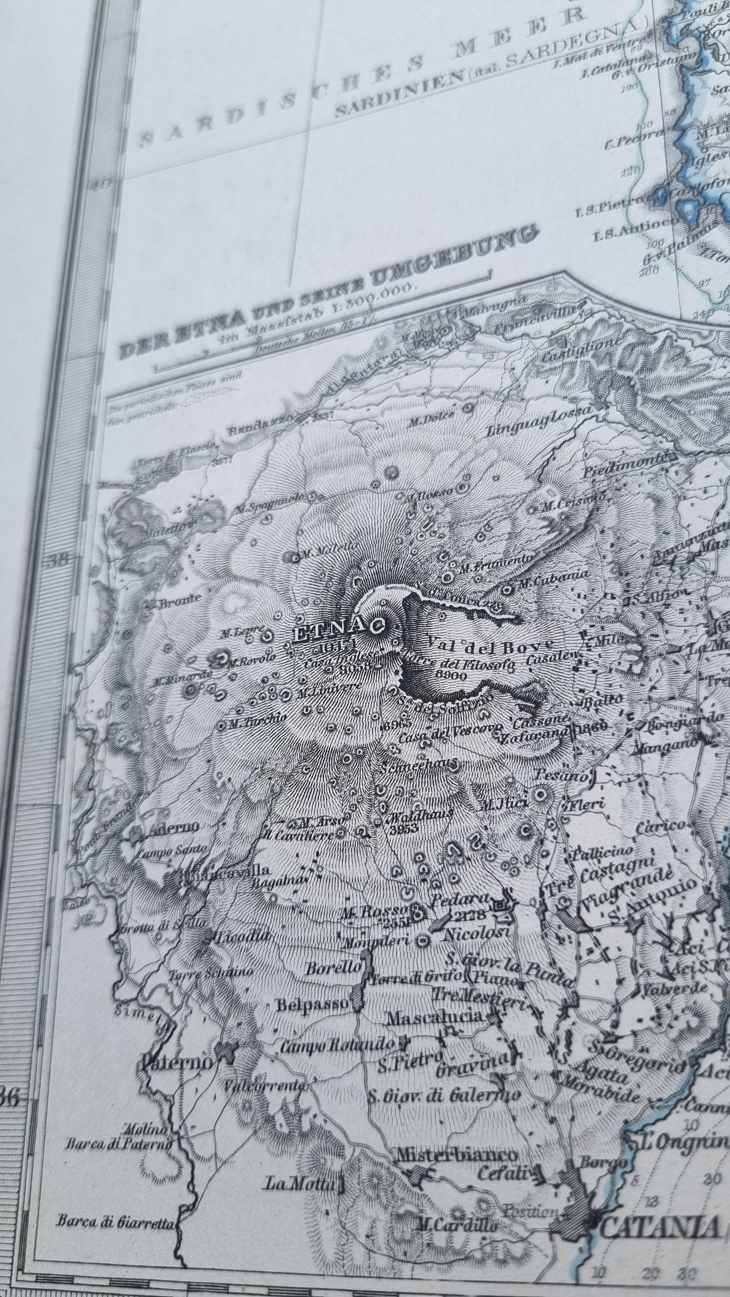
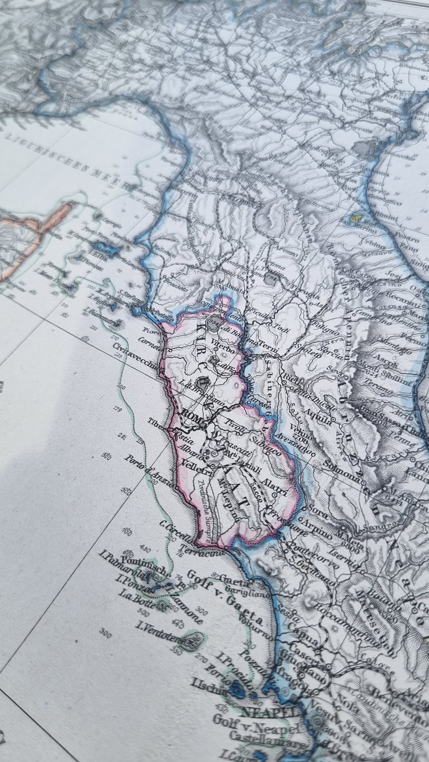
Hand-colored outlines distinguish the regions. Detailed insets of Rome and its environs, as well as Turin offer a closer look at the historical and geographical landscape of the region's key cities and surrounding areas. Meticulous detail in depicting mountain ranges, river courses, depth soundings and the volcanic structure of areas like Mount Etna add interest and contribute to its aesthetic appeal. A beautiful map in excellent condition.
Details
- Date: 1869
- Author: A Petermann; Gotha, Germany
- Size: 48cm x 39cm
- Medium: Steel engraving
Condition
Excellent; Slight dark toning to edges and light foxing towards the margins. Clear, dark print with subtle colours.
Unframed.
1869 Italy
1869 Italy
Couldn't load pickup availability
1 in stock
Share
A fine example of 19th-century Italy by von A. Petermann, displaying its detailed topography, administrative divisions, and transportation networks such as roads and railways.
Hand-colored outlines distinguish the regions. Detailed insets of Rome and its environs, as well as Turin offer a closer look at the historical and geographical landscape of the region's key cities and surrounding areas. Meticulous detail in depicting mountain ranges, river courses, depth soundings and the volcanic structure of areas like Mount Etna add interest and contribute to its aesthetic appeal. A beautiful map in excellent condition.
Details
- Date: 1869
- Author: A Petermann; Gotha, Germany
- Size: 48cm x 39cm
- Medium: Steel engraving
Condition
Excellent; Slight dark toning to edges and light foxing towards the margins. Clear, dark print with subtle colours.
Unframed.


