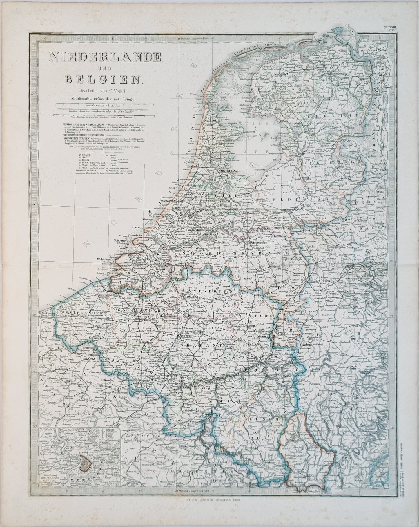
Antique German map of the Netherlands and Belgium by C. Vogel, 1869, appearing in Stieler's Hand Atlas. Carl Vogel was a German cartographer, topographer, and surveying engineer active in the 19th century.
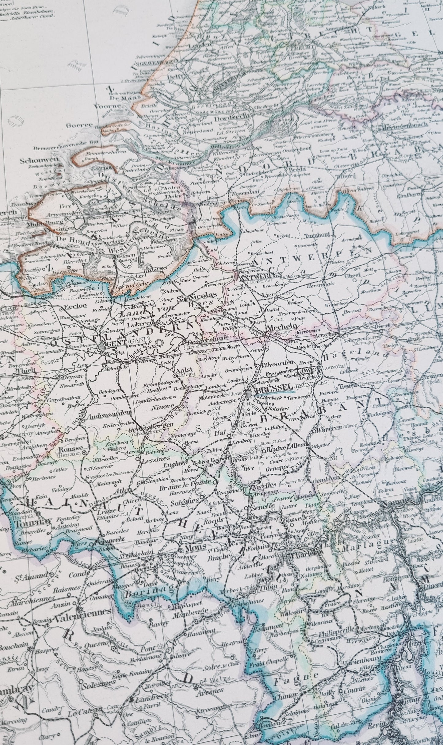
The map marks significant cities such as Amsterdam, Brussels, and Antwerp, the intricate network of rivers and canals, such as the Rhine and Meuse rivers, the burgeoning railway networks beginning to emerge across Europe and the North Sea coastline, as well as ports, estuaries, and coastal cities central to trade of the region.
This map captures a period of significant geopolitical change, produced shortly after the formation of the German Empire.
Details
- Date: 1869
- Author: C. Vogel; Gotha, Germany
- Size: 48cm x 39cm
- Medium: Steel engraving with hand-colour
Condition
Very Good; Slight dark toning to edges and light foxing towards the margins. Dark print with bright colours.
Unframed.
1869 Netherlands and Belgium
1869 Netherlands and Belgium
Couldn't load pickup availability
1 in stock
Share
Antique German map of the Netherlands and Belgium by C. Vogel, 1869, appearing in Stieler's Hand Atlas. Carl Vogel was a German cartographer, topographer, and surveying engineer active in the 19th century.
The map marks significant cities such as Amsterdam, Brussels, and Antwerp, the intricate network of rivers and canals, such as the Rhine and Meuse rivers, the burgeoning railway networks beginning to emerge across Europe and the North Sea coastline, as well as ports, estuaries, and coastal cities central to trade of the region.
This map captures a period of significant geopolitical change, produced shortly after the formation of the German Empire.
Details
- Date: 1869
- Author: C. Vogel; Gotha, Germany
- Size: 48cm x 39cm
- Medium: Steel engraving with hand-colour
Condition
Very Good; Slight dark toning to edges and light foxing towards the margins. Dark print with bright colours.
Unframed.


