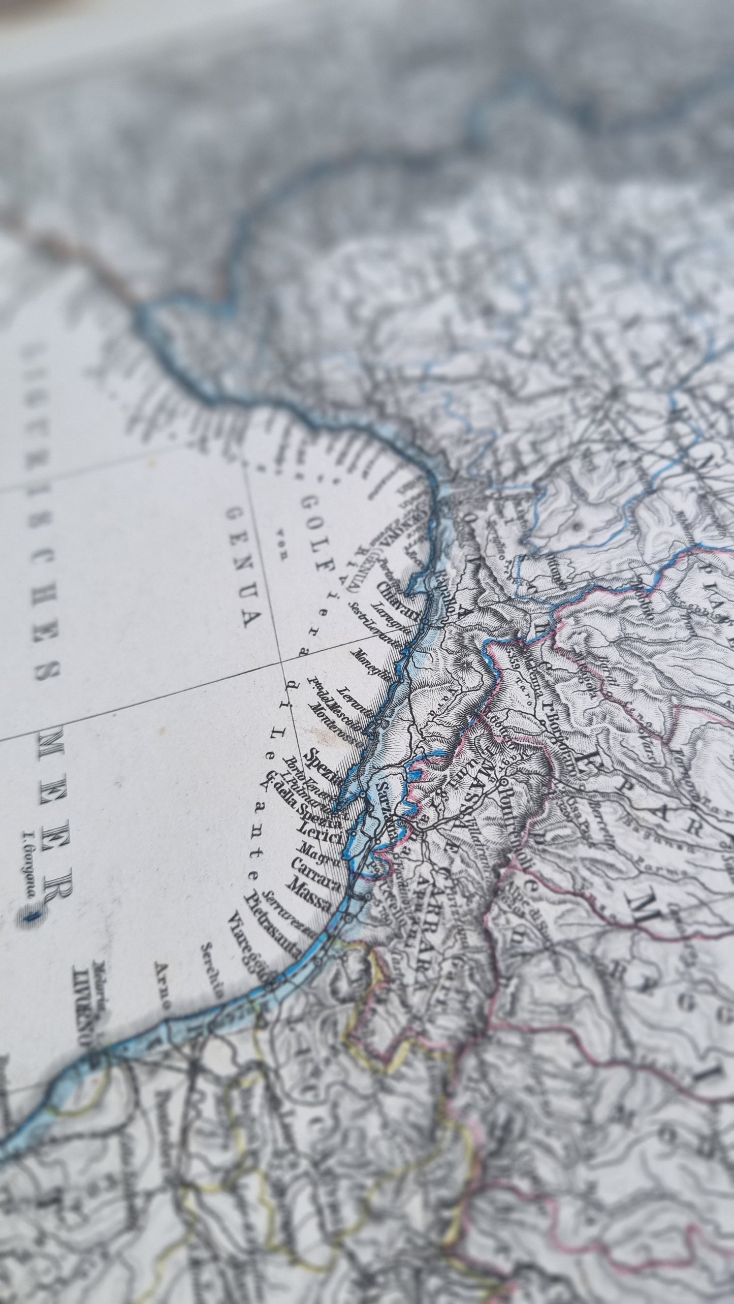
"Ober- und Mittel-Italien" (Upper and Central Italy), dated 1869 - a significant moment in the unification of Italy, just a few years after the proclamation of the Kingdom of Italy in 1861.
The map is notable for its topographical detail, with mountain ranges, rivers, and valleys meticulously outlined. The fine shading and use of contour lines predate the modern techniques of relief depiction. The Ligurian Sea and the Tyrrhenian Sea are prominently featured along with the Gulf of Genoa
Details
- Date: 1869
- Author: A Petermann; Gotha, Germany
- Size: 48cm x 39cm
- Medium: Steel engraving
Condition
Excellent; Slight dark toning to edges and light foxing towards the margins. Clear, dark print with subtle colours.
Unframed.
1869 Northern Italy
1869 Northern Italy
Couldn't load pickup availability
1 in stock
Share
"Ober- und Mittel-Italien" (Upper and Central Italy), dated 1869 - a significant moment in the unification of Italy, just a few years after the proclamation of the Kingdom of Italy in 1861.
The map is notable for its topographical detail, with mountain ranges, rivers, and valleys meticulously outlined. The fine shading and use of contour lines predate the modern techniques of relief depiction. The Ligurian Sea and the Tyrrhenian Sea are prominently featured along with the Gulf of Genoa
Details
- Date: 1869
- Author: A Petermann; Gotha, Germany
- Size: 48cm x 39cm
- Medium: Steel engraving
Condition
Excellent; Slight dark toning to edges and light foxing towards the margins. Clear, dark print with subtle colours.
Unframed.


