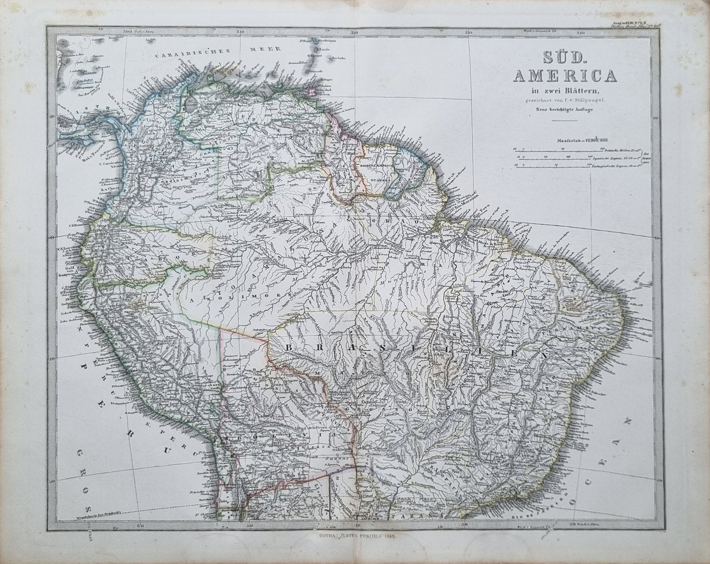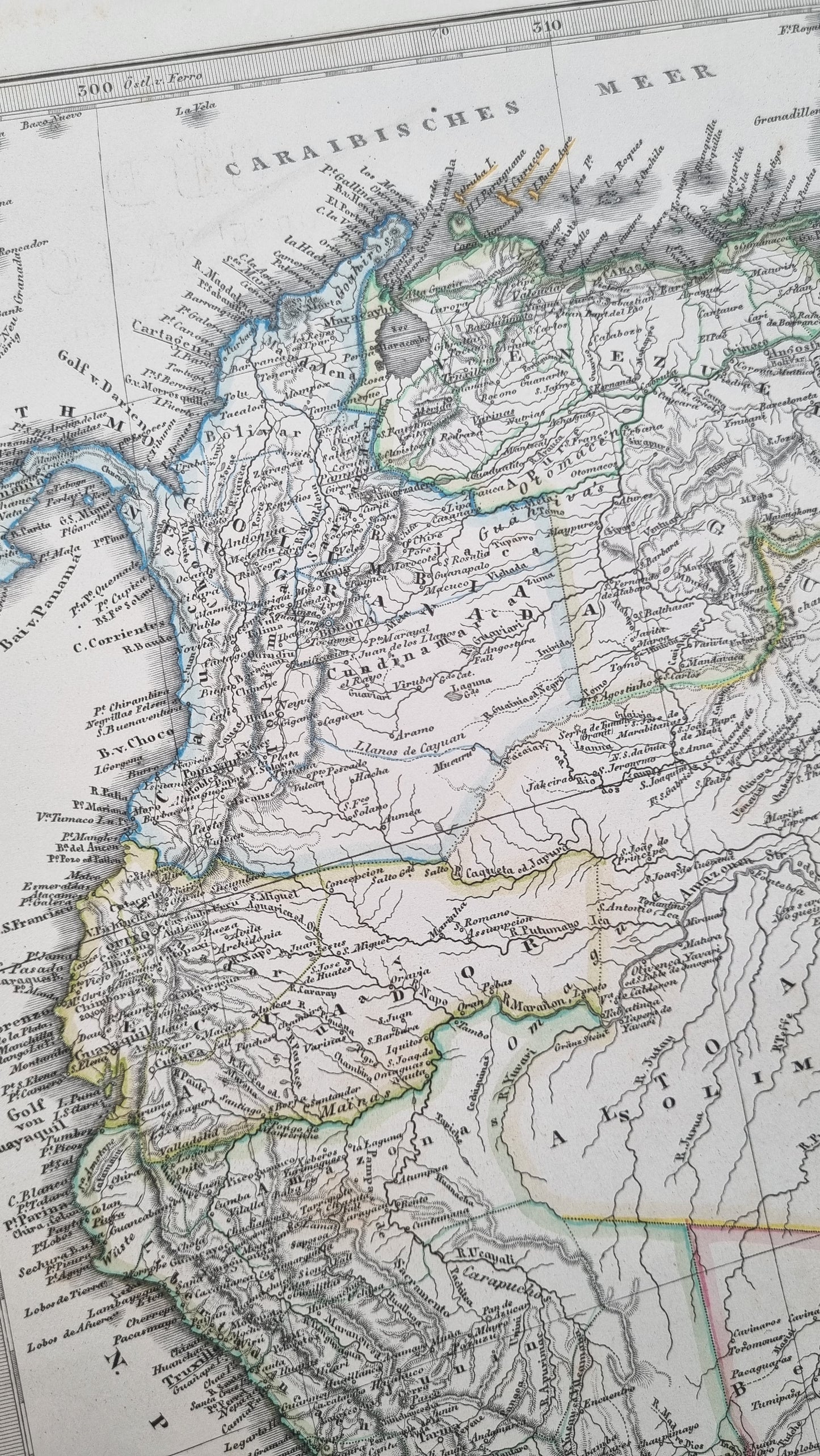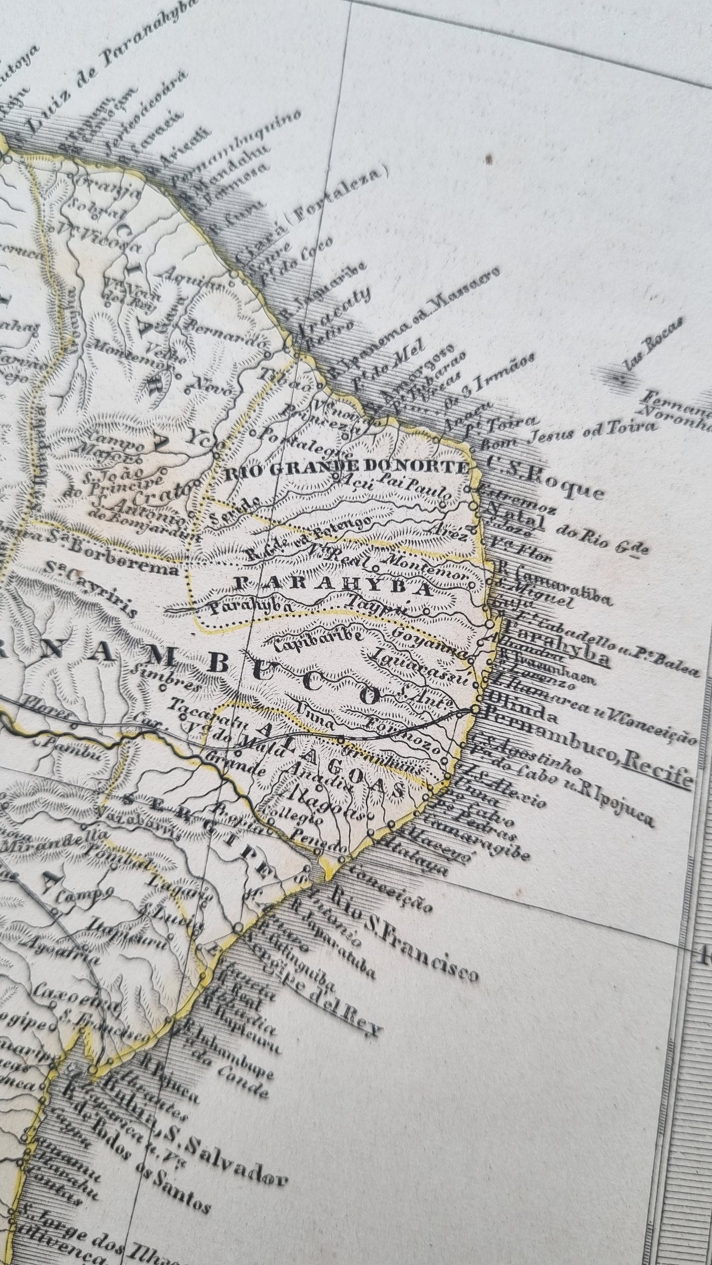


The South American continent by F. von Stulpnagel, appearing in Stieler's Hand Atlas, 1869. A handsome map featuring the topography and rivers of the south american interior, as well as political boundaries during a busy period of post-colonial reorganisation and the "War of the Triple Alliance" in Paraguay. The borders of many South American countries were still in flux during the late 19th century. Disputes over boundaries were common, as were treaties and negotiations to settle these disagreements. This era saw many international arbitrations and treaties, which would gradually shape the modern map of the continent.
Details
- Date: 1869
- Author: F. von Stülpnagel; Gotha, Germany
- Size: 48cm x 39cm
Condition
Good; Light toning and foxing affecting the margins and slightly into the image. The occasional spot. Centre-fold as issued.
1869 South America (Northern)
1869 South America (Northern)
Couldn't load pickup availability
Out of stock
The South American continent by F. von Stulpnagel, appearing in Stieler's Hand Atlas, 1869. A handsome map featuring the topography and rivers of the south american interior, as well as political boundaries during a busy period of post-colonial reorganisation and the "War of the Triple Alliance" in Paraguay. The borders of many South American countries were still in flux during the late 19th century. Disputes over boundaries were common, as were treaties and negotiations to settle these disagreements. This era saw many international arbitrations and treaties, which would gradually shape the modern map of the continent.
Details
- Date: 1869
- Author: F. von Stülpnagel; Gotha, Germany
- Size: 48cm x 39cm
Condition
Good; Light toning and foxing affecting the margins and slightly into the image. The occasional spot. Centre-fold as issued.