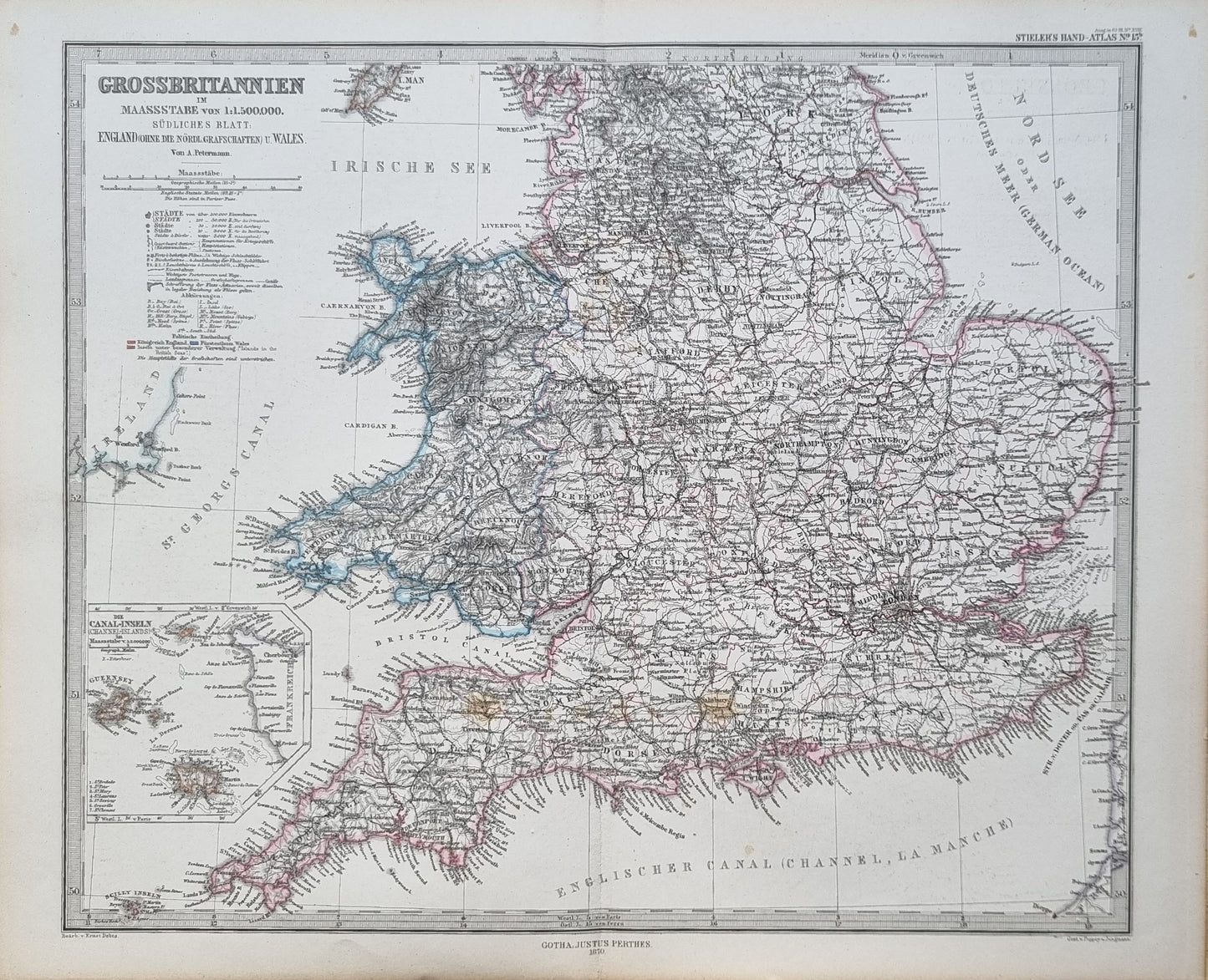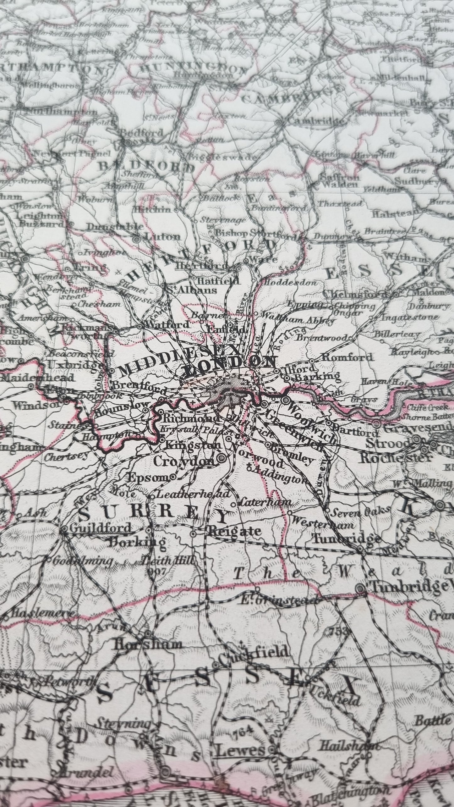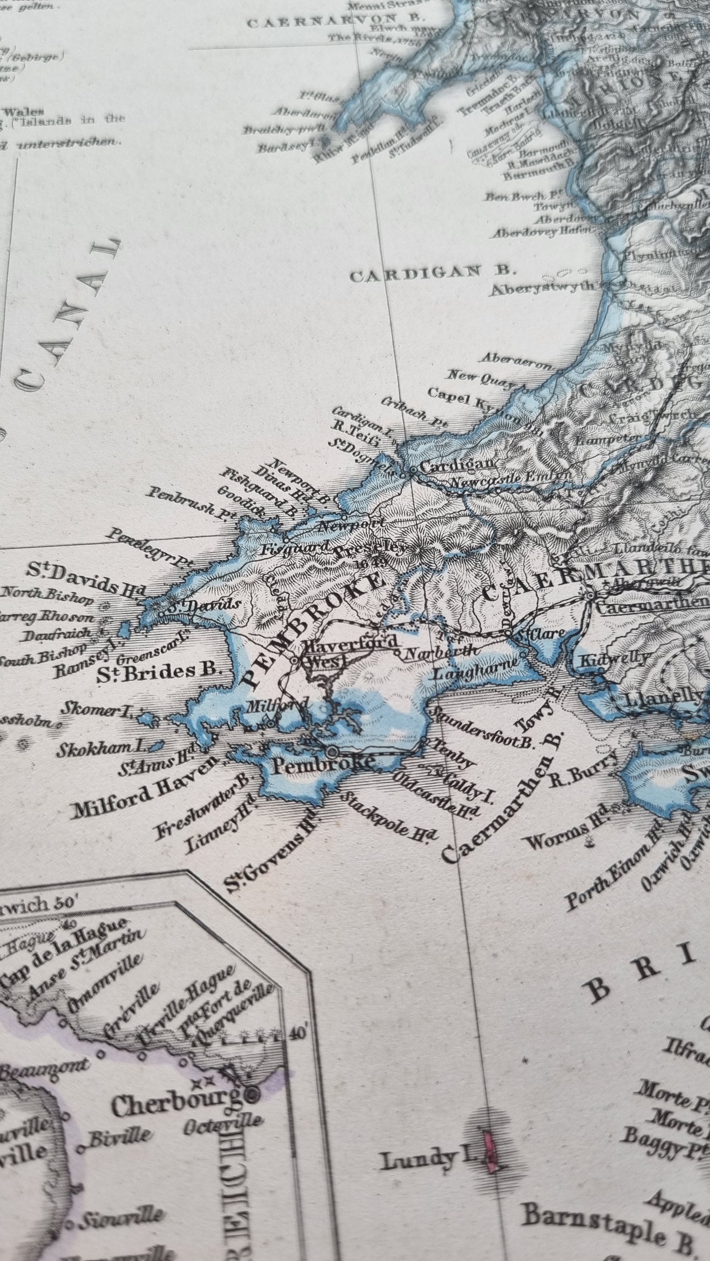


A finely detailed map of England and Wales by Petermann, originally published in Stieler's Hand-Atlas, 1870. Includes exquisite detail of the coastal towns of England and Wales, with an inset of the Channel Islands. Original steel engraving with hand-colour.
Details
- Date: 1870
- Author: Von. A. Petermann; Gotha, Germany
- Size: 48cm x 39cm
Condition
Very Good; Slight dark toning to edges and light foxing towards the margins. Clear, dark print with subtle colours. Occasional spot affecting the image. Unframed
1870 England and Wales
1870 England and Wales
Couldn't load pickup availability
Out of stock
A finely detailed map of England and Wales by Petermann, originally published in Stieler's Hand-Atlas, 1870. Includes exquisite detail of the coastal towns of England and Wales, with an inset of the Channel Islands. Original steel engraving with hand-colour.
Details
- Date: 1870
- Author: Von. A. Petermann; Gotha, Germany
- Size: 48cm x 39cm
Condition
Very Good; Slight dark toning to edges and light foxing towards the margins. Clear, dark print with subtle colours. Occasional spot affecting the image. Unframed