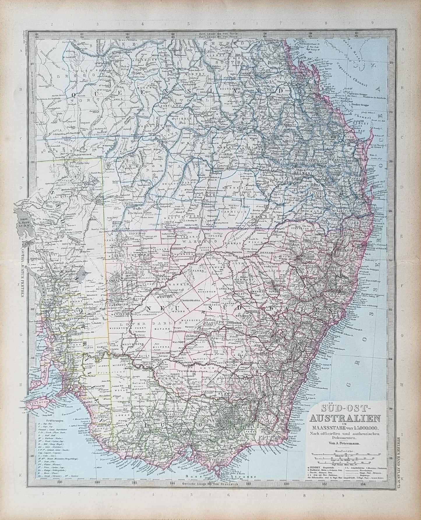
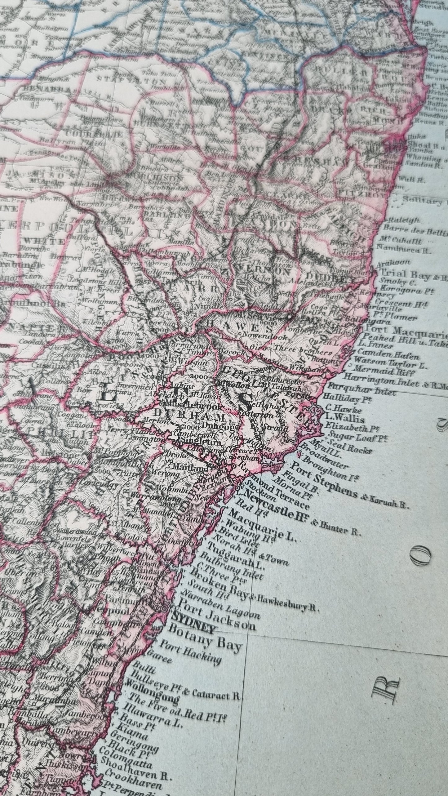
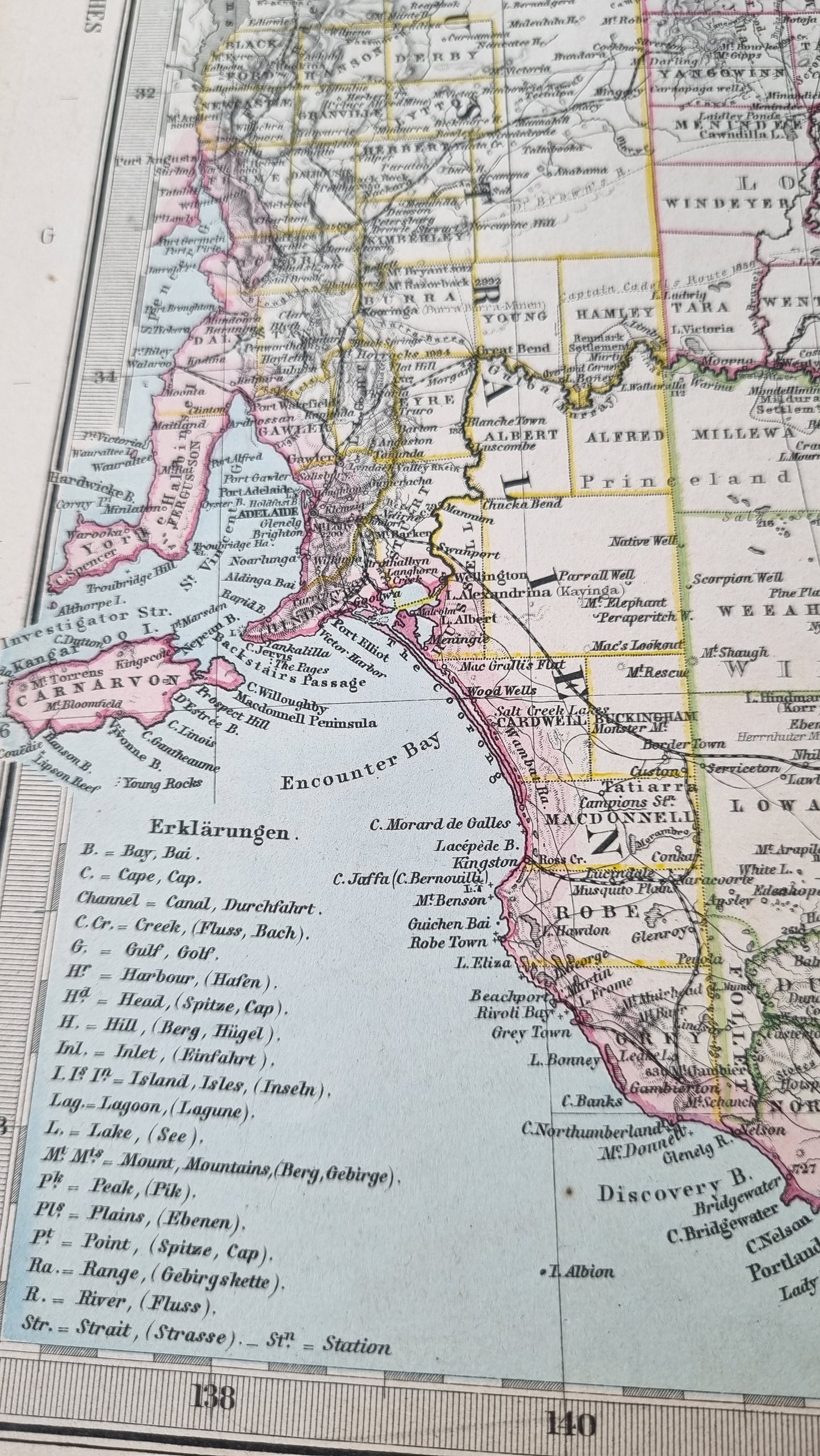
A detailed representation of South-Eastern Australia, attributed to the esteemed cartographer August Heinrich Petermann and featured in Stieler's Hand Atlas. Known for its meticulous cartographic accuracy and aesthetic design, Stieler’s Hand Atlas was first published in the mid-19th century by the Perthes publishing firm, which became renowned for high-quality map publications. This map, from a late 19th-century edition, illustrates the vast geographic diversity and settlement patterns of the region during a pivotal period in Australian history.
Details
- Date: 1891
- Author: Von. A. Petermann; Gotha, Germany
- Size: 48cm x 39cm
Condition
Good. Light browning to margin edges, occasional spot affecting the image. Otherwise in good condition.
Unframed
1891 South East Australia
1891 South East Australia
Couldn't load pickup availability
1 in stock
Share
A detailed representation of South-Eastern Australia, attributed to the esteemed cartographer August Heinrich Petermann and featured in Stieler's Hand Atlas. Known for its meticulous cartographic accuracy and aesthetic design, Stieler’s Hand Atlas was first published in the mid-19th century by the Perthes publishing firm, which became renowned for high-quality map publications. This map, from a late 19th-century edition, illustrates the vast geographic diversity and settlement patterns of the region during a pivotal period in Australian history.
Details
- Date: 1891
- Author: Von. A. Petermann; Gotha, Germany
- Size: 48cm x 39cm
Condition
Good. Light browning to margin edges, occasional spot affecting the image. Otherwise in good condition.
Unframed


