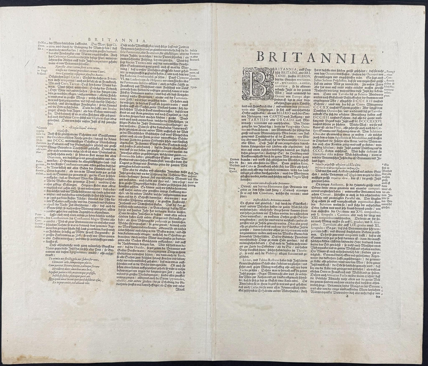


"Insularum Britannicarum Acurata Delineatio ex Geographicus Conatibus Abrahami Ortelii" — an accurate delineation of the British Isles, drawn from the geographical works of the great Flemish cartographer Abraham Ortelius. Published in Amsterdam by Jan Jansson, this is a fine example of an influential map of Britain and Ireland, derived from Ortelius's landmark Theatrum Orbis Terrarum and subsequently reproduced by Jansson and others throughout the 17th century.
The map presents the British Isles in a striking orientated view, rotated so that east faces upward, following the Ptolemaic tradition retained by Ortelius. Ireland (Hibernia) appears at upper left, with Great Britain (Britannia Maior) dominating the centre, and Scotland depicted at right. The surrounding seas are named in Latin — Occidentalis Oceanus, Caledonius Oceanus, Oceanus Germanicus, and Mare Hibernicum — and are enlivened with sailing ships and sea monsters. A wealth of regional and tribal names drawn from classical antiquity are inscribed across the landmasses, reflecting the humanist scholarship of the age.
The elaborate baroque cartouche at lower right, flanked by two classical figures, bears the title and the imprint of Jan Jansson, one of the foremost publishers of the Dutch Golden Age of cartography. The engraving is attributed to Pieter Kaerius (Petrus Kaerius Caelavit), whose signature appears at the lower margin. The map retains its original hand-colour, with delicate washes highlighting the islands and coastlines against the cream of the paper.
Details
- Date: c.1656
- Author: Ortelius, A. / Jansson, J.; Amsterdam, Netherlands
- Engraver: Kaerius, Petrus (Pieter van den Keere)
- Size: approx. 50cm x 38cm
Condition
Good; Strong impression with original hand-colour. Some age-toning and light browning consistent with a document of this age. Centre-fold as issued. Minor marginal soiling. Unframed
1656 British Isles - Ortelius / Jansson
1656 British Isles - Ortelius / Jansson
Couldn't load pickup availability
1 in stock
"Insularum Britannicarum Acurata Delineatio ex Geographicus Conatibus Abrahami Ortelii" — an accurate delineation of the British Isles, drawn from the geographical works of the great Flemish cartographer Abraham Ortelius. Published in Amsterdam by Jan Jansson, this is a fine example of an influential map of Britain and Ireland, derived from Ortelius's landmark Theatrum Orbis Terrarum and subsequently reproduced by Jansson and others throughout the 17th century.
The map presents the British Isles in a striking orientated view, rotated so that east faces upward, following the Ptolemaic tradition retained by Ortelius. Ireland (Hibernia) appears at upper left, with Great Britain (Britannia Maior) dominating the centre, and Scotland depicted at right. The surrounding seas are named in Latin — Occidentalis Oceanus, Caledonius Oceanus, Oceanus Germanicus, and Mare Hibernicum — and are enlivened with sailing ships and sea monsters. A wealth of regional and tribal names drawn from classical antiquity are inscribed across the landmasses, reflecting the humanist scholarship of the age.
The elaborate baroque cartouche at lower right, flanked by two classical figures, bears the title and the imprint of Jan Jansson, one of the foremost publishers of the Dutch Golden Age of cartography. The engraving is attributed to Pieter Kaerius (Petrus Kaerius Caelavit), whose signature appears at the lower margin. The map retains its original hand-colour, with delicate washes highlighting the islands and coastlines against the cream of the paper.
Details
- Date: c.1656
- Author: Ortelius, A. / Jansson, J.; Amsterdam, Netherlands
- Engraver: Kaerius, Petrus (Pieter van den Keere)
- Size: approx. 50cm x 38cm
Condition
Good; Strong impression with original hand-colour. Some age-toning and light browning consistent with a document of this age. Centre-fold as issued. Minor marginal soiling. Unframed